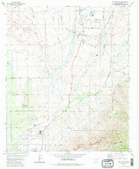
1981 Map of Oro Valley
USGS Topo · Published 1986About this map
Cañada del Oro carves through the center of this landscape, marking the transition from the Tortolita Mts in the northwest to the soaring peaks of the Coronado National Forest in the southeast. In the early 1980s, the growing settlement of Oro Valley begins to take shape south of Steam Pump Ranch, showing early street developments like Valle del Oro Road and Linda Vista Blvd. The map captures a mix of educational and civic infrastructure, from the Canyon del Oro High Sch to the Arizona Youth Center and Oro Sch. To the north, the community of Catalina is established along the highway corridor, flanked by Twin Lakes and several trailer parks. High-altitude landmarks such as Bighorn Mtn, Buster Mtn, and Mt Kimball define the wilderness boundary, while local landmarks like the Historical Mon and various ranching corrals point to the area's deeper territorial history.
Find a feature on this map
58 named features on this map. Tap any name to fly to it.
Don’t see what you’re looking for? This feature index may not catch every label — zoom into the map to look around manually.
Map Details
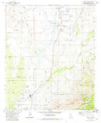
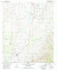
Editions of this 1981 Oro Valley Map
3 editions found
Other maps of this area

1904 · Tucson
USGS Topo · 1:125,000

1905 · Tucson
USGS Topo · 1:125,000

1911 · Winkelman
USGS Topo · 1:125,000

1913 · Winkelman
USGS Topo · 1:125,000

1934 · Tucson Mountains
USGS Topo · 1:125,000

1934 · Newman Peak
USGS Topo · 1:125,000

1947 · Cortaro
USGS Topo · 1:62,500

1956 · Tucson
USGS Topo · 1:250,000

1957 · Sabino Canyon
USGS Topo · 1:24,000

1957 · Cortaro
USGS Topo · 1:62,500