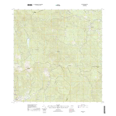
2018 Map of Orocovis
USGS Topo · Published 2018About this map
Cordillera Central defines the backbone of this interior region, where the steep terrain of the central mountains dictates the placement of settlements and roads. The town of Orocovis sits perched in the northeast, while Villalba occupies the southwest, separated by a complex network of ridges including Montes La Toyosa and Cerro Doña Juana. This landscape is deeply carved by numerous watercourses such as Rio Bauta and Rio Orocovis, which flow through the high-elevation valleys.
Find a feature on this map
37 named features on this map. Tap any name to fly to it.
Don’t see what you’re looking for? This feature index may not catch every label — zoom into the map to look around manually.
Map Details
Editions of this 2018 Orocovis Map
This is the sole edition of this map. No revisions or reprints were ever made.
Other maps of this area

1945 · Ponce
USGS Topo · 1:30,000

1945 · Rio Descalabrado
USGS Topo · 1:30,000

1946 · Coamo
USGS Topo · 1:30,000

1946 · Corozal
USGS Topo · 1:30,000

1946 · Barranquitas
USGS Topo · 1:30,000

1946 · Ciales
USGS Topo · 1:30,000

1946 · Jayuya
USGS Topo · 1:30,000

1946 · Florida
USGS Topo · 1:30,000

1946 · Orocovis
USGS Topo · 1:30,000

1947 · Corozal SO
USGS Topo · 1:10,000