
1961 Map of Orrock
USGS Topo · Published 1963About this map
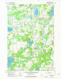
St Francis River meanders across a landscape defined by glacial activity and post-settlement agriculture in this early 1960s survey of Sherburne County. The settlement of Orrock serves as a local hub, surrounded by a high density of rural religious and civic landmarks including Orrock Ch, Eldskog Ch, and a Townhall. The presence of several family and community burial grounds, such as Galbraith Cem and Bellwood Cem, suggests a deeply rooted farming community established well before the mid-century.
Find a feature on this map
36 named features on this map. Tap any name to fly to it.
Don’t see what you’re looking for? This feature index may not catch every label — zoom into the map to look around manually.
Map Details
Editions of this 1961 Orrock Map
3 editions found
Other maps of this area

1953 · Stillwater
USGS Topo · 1:250,000

1955 · Stillwater
USGS Topo · 1:250,000

1958 · Stillwater
USGS Topo · 1:250,000

1961 · Big Lake
USGS Topo · 1:24,000

1961 · Lake Fremont
USGS Topo · 1:24,000

1961 · Elk River
USGS Topo · 1:24,000

1961 · Monticello
USGS Topo · 1:24,000

1961 · Becker
USGS Topo · 1:24,000

1961 · Monticello
USGS Topo · 1:62,500

1961 · Elk River
USGS Topo · 1:62,500