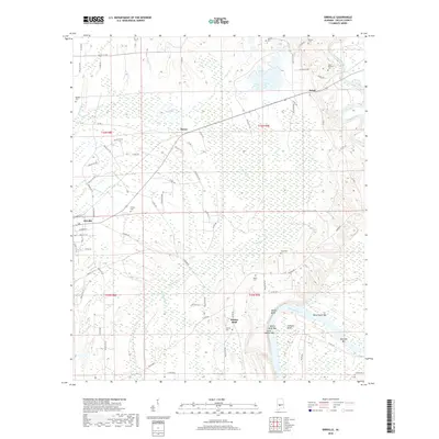
2018 Map of Orrville
USGS Topo · Published 2018About this map
Orrville and the nearby settlements of Hazen and Beloit anchor this Dallas County landscape, where the agricultural plains meet the complex waterways of central Alabama. The topography is defined by the winding course of the Cahaba River and the broad Alabama River, which features several named sandbars and bends including Calhoun Bend and Mary Taylor Bar. Between these major rivers, a network of smaller streams like Big Swamp Cr and Tatum Cr create a saturated lowland environment that has historically influenced the placement of roads and homesteads.
Find a feature on this map
80 named features on this map. Tap any name to fly to it.
Don’t see what you’re looking for? This feature index may not catch every label — zoom into the map to look around manually.
Map Details
Editions of this 2018 Orrville Map
This is the sole edition of this map. No revisions or reprints were ever made.
Other maps of this area
1953 · Montgomery
USGS Topo · 1:250,000
1956 · Montgomery
USGS Topo · 1:250,000
1957 · Montgomery
USGS Topo · 1:250,000
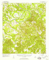
1957 · Carlowville
USGS Topo · 1:62,500
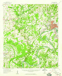
1958 · Selma
USGS Topo · 1:62,500
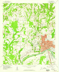
1958 · Selma
USGS Topo · 1:24,000
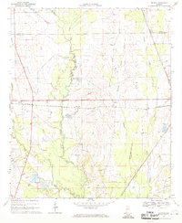
1968 · Browns
USGS Topo · 1:24,000
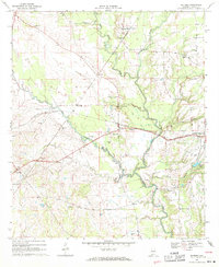
1968 · Safford
USGS Topo · 1:24,000
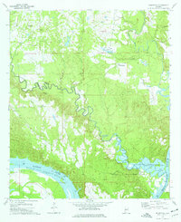
1974 · Crumptonia
USGS Topo · 1:24,000
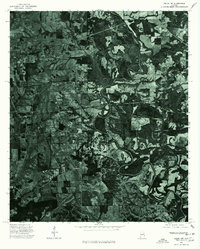
1975 · Selma NW
USGS Topo · 1:24,000