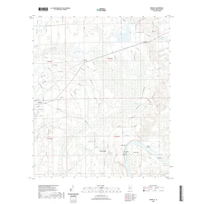
2020 Map of Orrville
USGS Topo · Published 2020About this map
The Alabama River and the Cahaba River define the southeastern corner of this Dallas County landscape, where riverine bends and bars like Calhoun Bend and Mary Taylor Bar have shaped the local geography for generations. Near the banks of the Alabama, the distinct elevation of Whites Bluff overlooks the water, situated near the Liberty Cem. This area reflects a long history of river-based commerce and settlement, contrasted by the wetland reaches of Big Swamp Cr and Tatum Cr that dominate the central and northern sections of the map.
Find a feature on this map
85 named features on this map. Tap any name to fly to it.
Don’t see what you’re looking for? This feature index may not catch every label — zoom into the map to look around manually.
Map Details
Editions of this 2020 Orrville Map
This is the sole edition of this map. No revisions or reprints were ever made.
Other maps of this area

1953 · Montgomery
USGS Topo · 1:250,000

1956 · Montgomery
USGS Topo · 1:250,000

1957 · Montgomery
USGS Topo · 1:250,000

1957 · Carlowville
USGS Topo · 1:62,500

1958 · Selma
USGS Topo · 1:62,500

1958 · Selma
USGS Topo · 1:24,000

1968 · Browns
USGS Topo · 1:24,000

1968 · Safford
USGS Topo · 1:24,000

1974 · Crumptonia
USGS Topo · 1:24,000

1975 · Selma NW
USGS Topo · 1:24,000