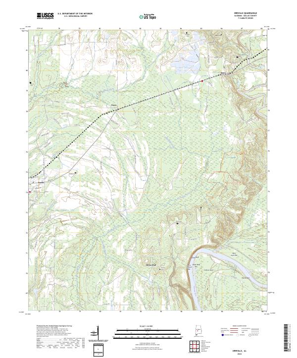
2024 Map of Orrville
USGS Topo · Published 2024About this map
The Alabama River meanders through the southern reaches of this landscape, its banks defined by shifting deposits like White Bluff Bar and Mary Taylor Bar near the sweeping curve of Calhoun Bend. To the north, the terrain transitions into a patchwork of drainages including Big Swamp Creek and Tatum Creek, where small settlements like Orrville and Beloit serve as focal points for the rural road network. Genealogists will find a significant distribution of family and community burial grounds, from the Sugar Bottom Cem in the northeast to the Liberty Cem near the river bluffs.
Find a feature on this map
79 named features on this map. Tap any name to fly to it.
Don’t see what you’re looking for? This feature index may not catch every label — zoom into the map to look around manually.
Map Details
Editions of this 2024 Orrville Map
This is the sole edition of this map. No revisions or reprints were ever made.
Other maps of this area

1953 · Montgomery
USGS Topo · 1:250,000

1956 · Montgomery
USGS Topo · 1:250,000

1957 · Montgomery
USGS Topo · 1:250,000

1957 · Carlowville
USGS Topo · 1:62,500

1958 · Selma
USGS Topo · 1:62,500

1958 · Selma
USGS Topo · 1:24,000

1968 · Browns
USGS Topo · 1:24,000

1968 · Safford
USGS Topo · 1:24,000

1974 · Crumptonia
USGS Topo · 1:24,000

1975 · Selma NW
USGS Topo · 1:24,000