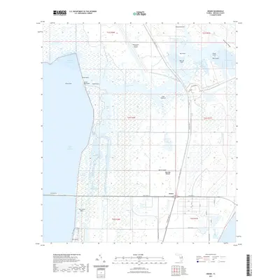
2021 Map of Orsino
USGS Topo · Published 2021About this map
Merritt Island dominates this 2021 landscape, showing the complex intersection of natural wetlands and aerospace infrastructure. The northern section is defined by the NASA Shuttle Landing Facility and specialized infrastructure like the Crawlerway and Tow Way, reflecting the region's role in modern space history. This industrial footprint sits amidst a dense network of coastal waterways and marshes, including Banana Creek and the Indian River Lagoon.
Find a feature on this map
55 named features on this map. Tap any name to fly to it.
Don’t see what you’re looking for? This feature index may not catch every label — zoom into the map to look around manually.
Map Details
Editions of this 2021 Orsino Map
This is the sole edition of this map. No revisions or reprints were ever made.
Other maps of this area

1949 · Orsino
USGS Topo · 1:24,000

1949 · False Cape
USGS Topo · 1:24,000

1949 · Titusville
USGS Topo · 1:24,000

1949 · Courtenay
USGS Topo · 1:24,000

1949 · Wilson
USGS Topo · 1:24,000

1949 · Mims
USGS Topo · 1:24,000

1949 · Sharpes
USGS Topo · 1:24,000

1951 · False Cape
USGS Topo · 1:24,000

1951 · Courtenay
USGS Topo · 1:24,000

1951 · Sharpes
USGS Topo · 1:24,000