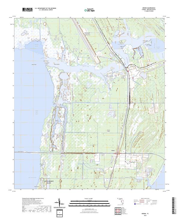
2024 Map of Orsino
USGS Topo · Published 2024About this map
North Merritt Island serves as a critical junction between the preserved subtropical wilderness and the pinnacle of American aerospace engineering. This survey highlights the settlement of Orsino positioned south of the extensive Merritt Island National Wildlife Refuge, where a labyrinth of wetlands and water bodies like Banana Creek and the Indian River Lagoon dominate the landscape. The geography is defined by a complex network of coastal features, including Happy Hammock, Peacocks Pocket, and Cedar Hammock.
Find a feature on this map
56 named features on this map. Tap any name to fly to it.
Don’t see what you’re looking for? This feature index may not catch every label — zoom into the map to look around manually.
Map Details
Editions of this 2024 Orsino Map
This is the sole edition of this map. No revisions or reprints were ever made.
Other maps of this area

1949 · Orsino
USGS Topo · 1:24,000

1949 · False Cape
USGS Topo · 1:24,000

1949 · Titusville
USGS Topo · 1:24,000

1949 · Courtenay
USGS Topo · 1:24,000

1949 · Wilson
USGS Topo · 1:24,000

1949 · Mims
USGS Topo · 1:24,000

1949 · Sharpes
USGS Topo · 1:24,000

1951 · False Cape
USGS Topo · 1:24,000

1951 · Courtenay
USGS Topo · 1:24,000

1951 · Sharpes
USGS Topo · 1:24,000