
1956 Map of Orting
USGS Topo · Published 1957About this map
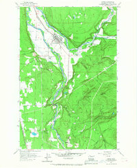
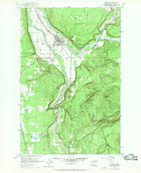
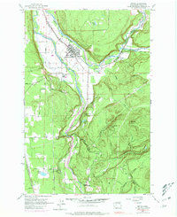
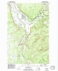
The Carbon River and Puyallup River converge near the town of Orting, creating a landscape defined by water management and valley floor industry in the mid-1950s. Protective levee structures line the riverbanks near the State Soldiers Home, while the surrounding terrain is heavily influenced by the presence of the Northern Pacific and the Chicago Milwaukee St Paul and Pacific railroads.
Find a feature on this map
47 named features on this map. Tap any name to fly to it.
Don’t see what you’re looking for? This feature index may not catch every label — zoom into the map to look around manually.
Map Details
Editions of this 1956 Orting Map
5 editions found
Other maps of this area

1897 · Tacoma
USGS Topo · 1:125,000

1900 · Tacoma
USGS Topo · 1:125,000

1937 · Eatonville
USGS Topo · 1:125,000

1941 · Tanwax Lake
USGS Topo · 1:62,500

1941 · Tacoma South
USGS Topo · 1:62,500

1942 · Lake Tapps
USGS Topo · 1:62,500

1944 · Lake Tapps
USGS Topo · 1:62,500

1944 · Tacoma South
USGS Topo · 1:62,500

1944 · Ohop Valley
USGS Topo · 1:62,500

1949 · Ohop Valley
USGS Topo · 1:62,500