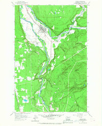
1956 Map of Orting
USGS Topo · Published 1968About this map
The confluence of the Carbon River and Puyallup River anchors this mid-century look at Pierce County, where the valley floor transitions into the timbered slopes of Spar Pole Hill. The town of Orting sits as the central hub, defined by its position between the rivers and its history as a rail junction for the Northern Pacific and the Chicago Milwaukee St Paul and Pacific. On the south edge of town, the State Soldiers Home and the Orting Cem reflect the long-standing community infrastructure established here long before the mid-1950s field checks.
Find a feature on this map
41 named features on this map. Tap any name to fly to it.
Don’t see what you’re looking for? This feature index may not catch every label — zoom into the map to look around manually.
Map Details
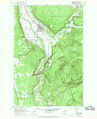
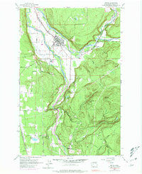
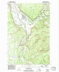
Editions of this 1956 Orting Map
5 editions found

Other maps of this area

1897 · Tacoma
USGS Topo · 1:125,000

1900 · Tacoma
USGS Topo · 1:125,000

1937 · Eatonville
USGS Topo · 1:125,000

1941 · Tanwax Lake
USGS Topo · 1:62,500

1941 · Tacoma South
USGS Topo · 1:62,500

1942 · Lake Tapps
USGS Topo · 1:62,500

1944 · Lake Tapps
USGS Topo · 1:62,500

1944 · Tacoma South
USGS Topo · 1:62,500

1944 · Ohop Valley
USGS Topo · 1:62,500

1949 · Ohop Valley
USGS Topo · 1:62,500