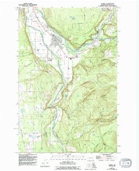
1956 Map of Orting
USGS Topo · Published 1994About this map
The Puyallup Valley serves as the focal point of this mid-century survey, where the confluence of the Carbon River and the Puyallup River shapes the local geography. The town of Orting sits centrally at this junction, supported by a network of levees and infrastructure that includes the Puyallup River Fish Hatchery and the State Soldiers Home. To the east, the settlement of Crocker and the Crocker Grange Hall mark a community defined by its proximity to the rising terrain of Spar Pole Hill.
Find a feature on this map
32 named features on this map. Tap any name to fly to it.
Don’t see what you’re looking for? This feature index may not catch every label — zoom into the map to look around manually.
Map Details
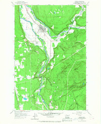
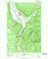
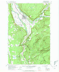
Editions of this 1956 Orting Map
5 editions found

Other maps of this area

1897 · Tacoma
USGS Topo · 1:125,000

1900 · Tacoma
USGS Topo · 1:125,000

1937 · Eatonville
USGS Topo · 1:125,000

1941 · Tanwax Lake
USGS Topo · 1:62,500

1941 · Tacoma South
USGS Topo · 1:62,500

1942 · Lake Tapps
USGS Topo · 1:62,500

1944 · Lake Tapps
USGS Topo · 1:62,500

1944 · Tacoma South
USGS Topo · 1:62,500

1944 · Ohop Valley
USGS Topo · 1:62,500

1949 · Ohop Valley
USGS Topo · 1:62,500