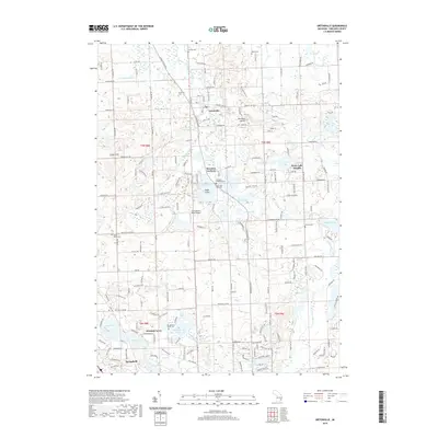
2019 Map of Ortonville
USGS Topo · Published 2019About this map
Ortonville and the surrounding townships in northern Oakland County are defined by a complex network of glacial kettle lakes and marshy lowlands. The landscape is dotted with named water bodies such as Bald Eagle Lake, Wau-Me-Gah Lake, and Perry Lake, often surrounded by residential clusters like Brandon Gardens and Perry Lake Heights. The drainage pattern is led by Kearsley Creek and the headwaters of the Clinton River, which cut through the undulating terrain near The High Banks.
Find a feature on this map
68 named features on this map. Tap any name to fly to it.
Don’t see what you’re looking for? This feature index may not catch every label — zoom into the map to look around manually.
Map Details
Editions of this 2019 Ortonville Map
This is the sole edition of this map. No revisions or reprints were ever made.
Other maps of this area

1907 · Pontiac
USGS Topo · 1:62,500

1909 · Milford
USGS Topo · 1:62,500

1920 · Holly
USGS Topo · 1:62,500

1922 · Holly
USGS Topo · 1:62,500

1936 · Highland
USGS Topo · 1:31,680

1936 · Clarkston
USGS Topo · 1:31,680

1936 · Pontiac North
USGS Topo · 1:31,680

1942 · Highland
USGS Topo · 1:24,000

1943 · Holly
USGS Topo · 1:62,500

1943 · Clarkston
USGS Topo · 1:24,000
Featured Places
- Independence Charter Township, MI
- Springfield Charter Township, MI
- Ortonville, MI
- Brandon Gardens, MI
- Jossman Acres, MI