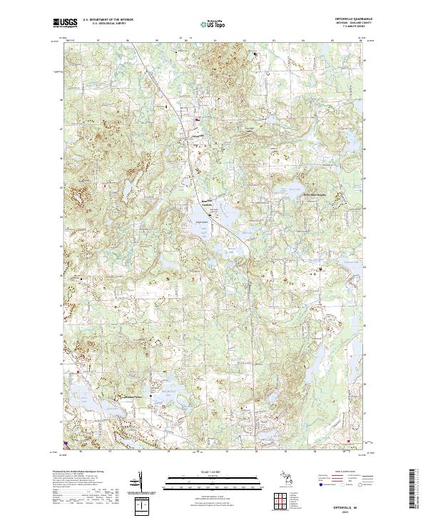
2023 Map of Ortonville
USGS Topo · Published 2023About this map
Ortonville and its surrounding glacial lake country define this portion of northern Oakland County. The village center, located near Kearsley Creek, is supported by a network of local cemeteries including Ortonville Cem and Carmer Cem, providing valuable points of interest for genealogical research. The landscape is heavily marked by its water bodies, from the prominent Bald Eagle Lake and Susin Lake to the smaller Hidden Lake and Huff Lake. To the south, the headwaters of the Clinton River emerge, while The High Banks and Enders Hill provide topographical contrast to the low-lying wetlands and drains. Residential developments such as Brandon Gardens, Eagle Island, and Perry Lake Heights are woven into the natural shoreline geography, showing the modern suburban character of these townships.
Find a feature on this map
82 named features on this map. Tap any name to fly to it.
Don’t see what you’re looking for? This feature index may not catch every label — zoom into the map to look around manually.
Map Details
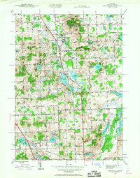
Editions of this 2023 Ortonville Map
This is the sole edition of this map. No revisions or reprints were ever made.
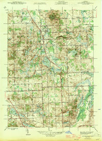
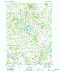
Historical Maps of Jossman Acres Through Time
5 maps found

Featured Locations
- Groveland Township, MI
- Independence Charter Township, MI
- Brandon Charter Township, MI
- Springfield Charter Township, MI
- Ortonville, Brandon Charter Township