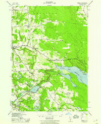
1943 Map of Orwell
USGS Topo · Published 1957About this map
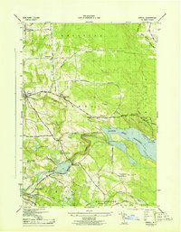
The Salmon River Reservoir dominates the landscape of eastern Oswego County, serving as a focal point for the surrounding hamlets during the mid-1940s. Water management and hydroelectric power infrastructure are prominent, with the Salmon River Dam, Lower Dam, and the Bennett Bridge substation area illustrating the industrial utility of the river. Small settlements and crossroads communities like Orwell, Altmar, and New Scriba are connected by a network of rural routes, including Beecherville Road and Smartville Road. The northern reaches of the N Y C R R rail line and numerous numbered schoolhouses, such as School No 7 in Vorea and School No 9 in Pine Meadows, reflect a traditional rural social structure. Notable natural landmarks like Salmon River Falls and the Hogback ridge provide significant topographic contrast to the developed valley floors.
Find a feature on this map
55 named features on this map. Tap any name to fly to it.
Don’t see what you’re looking for? This feature index may not catch every label — zoom into the map to look around manually.
Map Details
Editions of this 1943 Orwell Map
2 editions found
Other maps of this area

1895 · Pulaski
USGS Topo · 1:62,500

1903 · Orwell
USGS Topo · 1:62,500

1905 · Orwell
USGS Topo · 1:62,500

1905 · Mexico
USGS Topo · 1:62,500

1906 · Kasoag
USGS Topo · 1:62,500

1942 · Sandy Creek
USGS Topo · 1:24,000

1942 · Redfield
USGS Topo · 1:24,000
1943 · Boylston
USGS Topo · 1:31,680

1943 · Redfield
USGS Topo · 1:31,680

1943 · Westdale
USGS Topo · 1:31,680