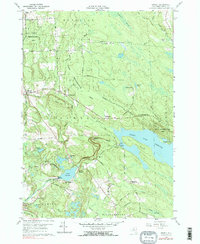
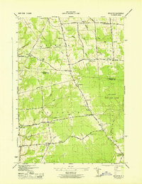
1959 Map of Orwell
USGS Topo · Published 1985About this map
The Salmon River Reservoir dominates this landscape in central New York, reflecting a mid-century period of hydroelectric development and reforestation. The topography showcases the complex water management system between Stillwater and Altmar, including the Salmon River Falls and the Lower Reservoir. Significant infrastructure such as the Powerhouse Sch, a pumping station, and a prominent aqueduct near Bennett Bridge illustrate the engineering of the era.
Find a feature on this map
57 named features on this map. Tap any name to fly to it.
Don’t see what you’re looking for? This feature index may not catch every label — zoom into the map to look around manually.
Map Details
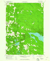
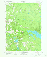
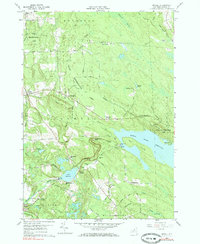
Editions of this 1959 Orwell Map
4 editions found
Other maps of this area

1895 · Pulaski
USGS Topo · 1:62,500

1903 · Orwell
USGS Topo · 1:62,500

1905 · Orwell
USGS Topo · 1:62,500

1905 · Mexico
USGS Topo · 1:62,500

1906 · Kasoag
USGS Topo · 1:62,500

1942 · Sandy Creek
USGS Topo · 1:24,000

1942 · Redfield
USGS Topo · 1:24,000
1943 · Boylston
USGS Topo · 1:31,680

1943 · Redfield
USGS Topo · 1:31,680

1943 · Westdale
USGS Topo · 1:31,680