
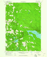
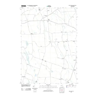
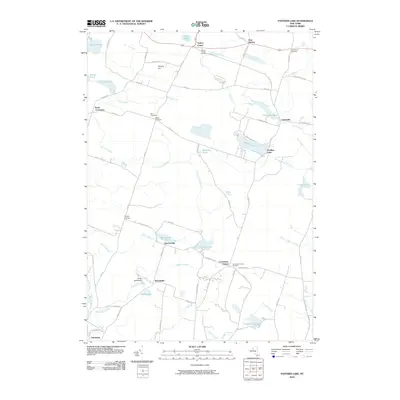
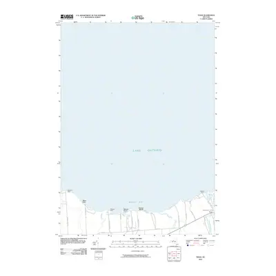
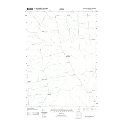
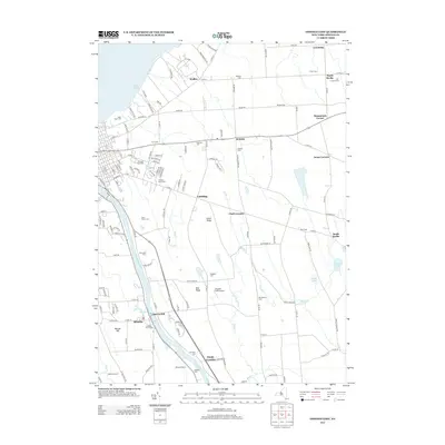
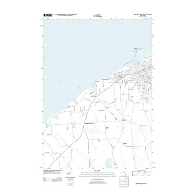
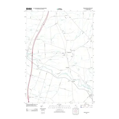
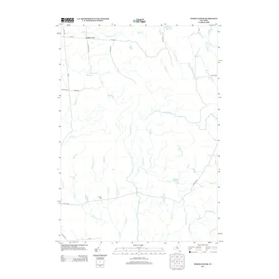
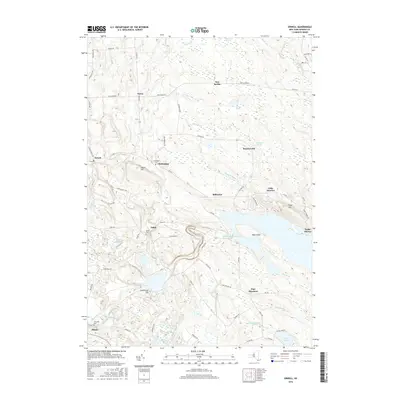
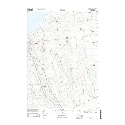
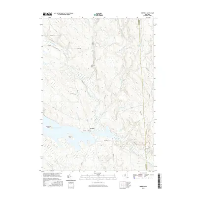
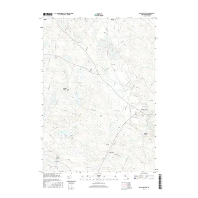
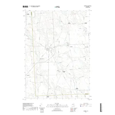
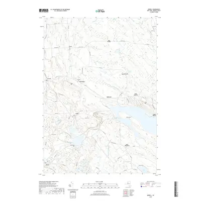
1959 Map of Orwell
USGS Topo · Published 1985About this map
The Salmon River dominates this landscape, carving through central Oswego County and feeding the extensive Salmon River Reservoir. The area's mid-century character is defined by water management and public lands, featuring the Lower Reservoir, the Salmon River Dam, and the dramatic Salmon River Falls. Scattered settlements such as Orwell, Altmar, and Stillwater are connected by a network of rural routes like Van Auken Road and Beecherville Road, while large tracts are dedicated to a State Reforestation Area.
Find a feature on this map
56 named features on this map. Tap any name to fly to it.
Don’t see what you’re looking for? This feature index may not catch every label — zoom into the map to look around manually.
Map Details
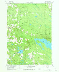
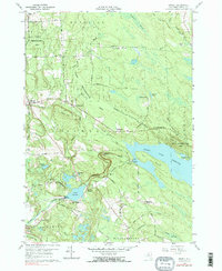
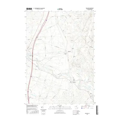
Editions of this 1959 Orwell Map
4 editions found
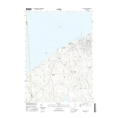
Historical Maps of Albion Through Time
125 maps found

1903 Orwell
Oswego County, NY

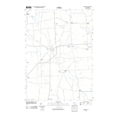
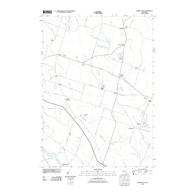
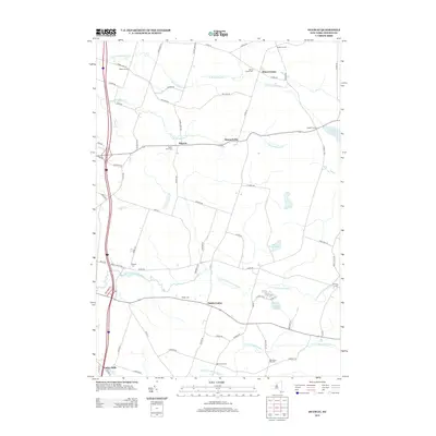
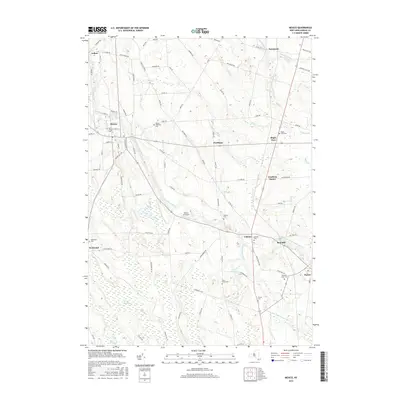
1905 Mexico
Oswego County, NY

1905 Orwell
Oswego County, NY

1906 Kasoag
Oswego County, NY

1942 Redfield
Oswego County, NY

1943 Boylston
Oswego County, NY

1943 Dugway
Oswego County, NY

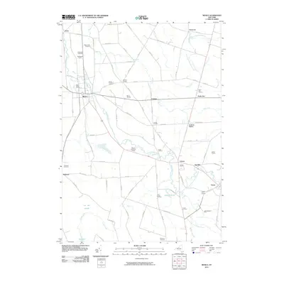
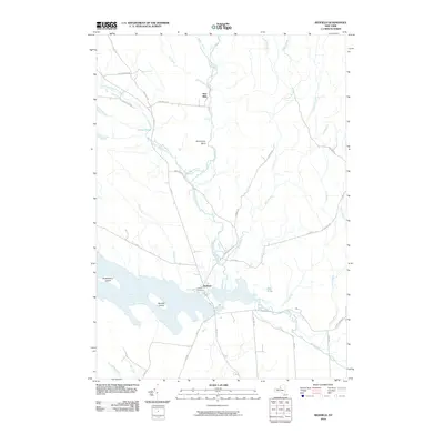
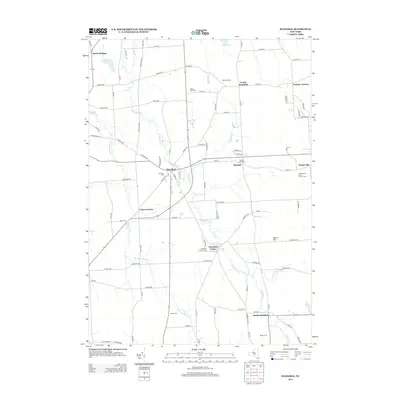
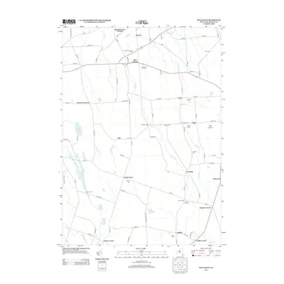
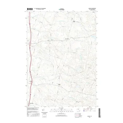
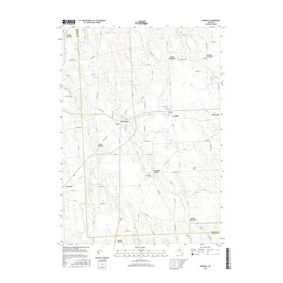
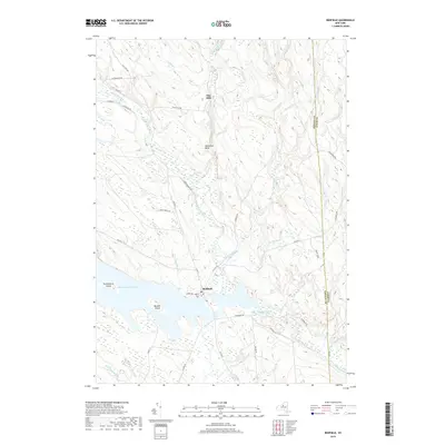
1943 Hannibal
Oswego County, NY

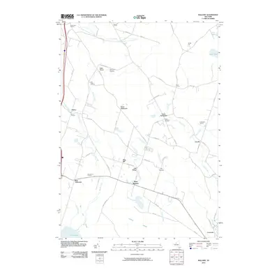
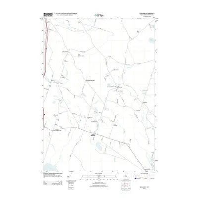
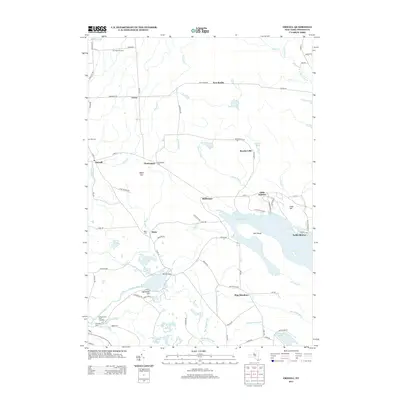
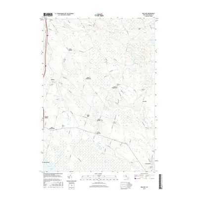
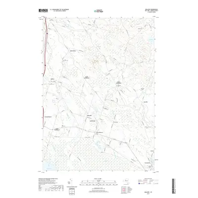
1943 Mallory
Oswego County, NY

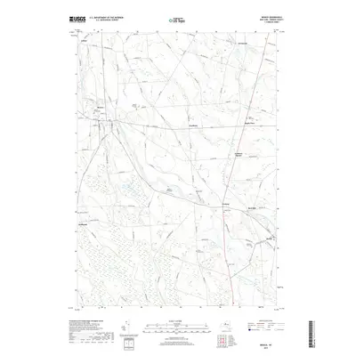
1943 Mexico
Oswego County, NY

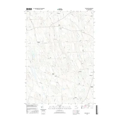
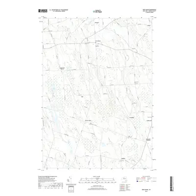
1943 New Haven
Oswego County, NY

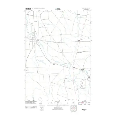
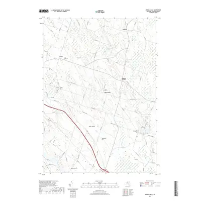
1943 Orwell
Oswego County, NY

1943 Oswego East
Oswego County, NY

1943 Oswego West
Oswego County, NY

1943 Panther Lake
Oswego County, NY

1943 Pennellville
Oswego County, NY

1943 Redfield
Oswego County, NY

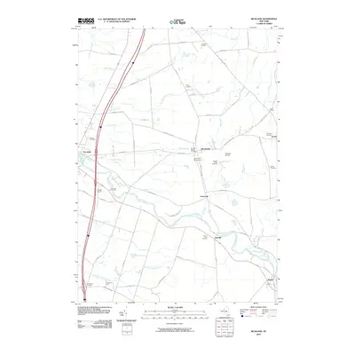
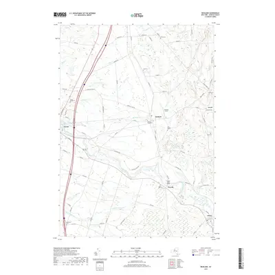
1943 Richland
Oswego County, NY

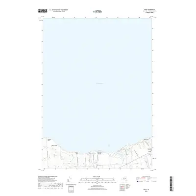
1943 Texas
Oswego County, NY

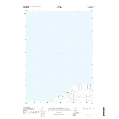
1943 West Of Texas
Oswego County, NY

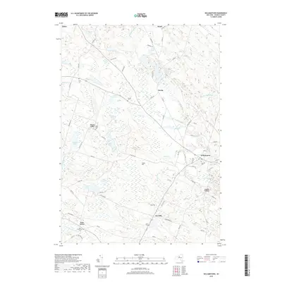
1943 Williamstown
Oswego County, NY

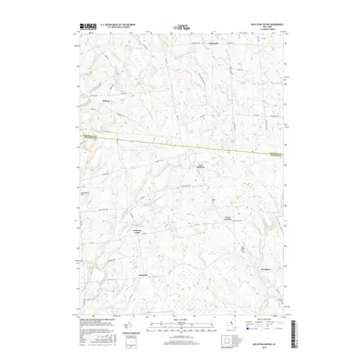
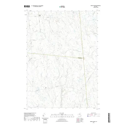
1943 Worth Center
Oswego County, NY

1954 Hannibal
Oswego County, NY

1954 Oswego East
Oswego County, NY

1954 Oswego West
Oswego County, NY

1955 Texas
Oswego County, NY

1955 West Of Texas
Oswego County, NY

1956 Mexico
Oswego County, NY

1956 New Haven
Oswego County, NY

1956 Pennellville
Oswego County, NY

1957 Dugway
Oswego County, NY

1957 Mallory
Oswego County, NY

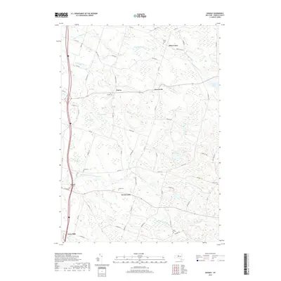
1958 Richland
Oswego County, NY

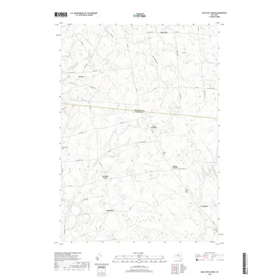
1959 Boylston Center
Oswego County, NY
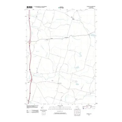
1959 Orwell
Oswego County, NY

1959 Panther Lake
Oswego County, NY

1960 Redfield
Oswego County, NY

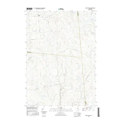
1960 Williamstown
Oswego County, NY

1960 Worth Center
Oswego County, NY

1978 Hannibal
Oswego County, NY
2010 Boylston Center
Oswego County, NY
2010 Dugway
Oswego County, NY
2010 Hannibal
Oswego County, NY
2010 Mallory
Oswego County, NY
2010 Mexico
Oswego County, NY
2010 New Haven
Oswego County, NY
2010 Orwell
Oswego County, NY
2010 Oswego East
Oswego County, NY
2010 Oswego West
Oswego County, NY
2010 Panther Lake
Oswego County, NY
2010 Pennellville
Oswego County, NY
2010 Redfield
Oswego County, NY
2010 Richland
Oswego County, NY
2010 Texas
Oswego County, NY
2010 West of Texas
Oswego County, NY
2010 Williamstown
Oswego County, NY
2010 Worth Center
Oswego County, NY
2013 Boylston Center
Oswego County, NY
2013 Dugway
Oswego County, NY
2013 Hannibal
Oswego County, NY
2013 Mallory
Oswego County, NY
2013 Mexico
Oswego County, NY
2013 New Haven
Oswego County, NY
2013 Orwell
Oswego County, NY
2013 Oswego East
Oswego County, NY
2013 Oswego West
Oswego County, NY
2013 Panther Lake
Oswego County, NY
2013 Pennellville
Oswego County, NY
2013 Redfield
Oswego County, NY
2013 Richland
Oswego County, NY
2013 Texas
Oswego County, NY
2013 West of Texas
Oswego County, NY
2013 Williamstown
Oswego County, NY
2013 Worth Center
Oswego County, NY
2016 Boylston Center
Oswego County, NY
2016 Dugway
Oswego County, NY
2016 Hannibal
Oswego County, NY
2016 Mallory
Oswego County, NY
2016 Mexico
Oswego County, NY
2016 New Haven
Oswego County, NY
2016 Orwell
Oswego County, NY
2016 Oswego East
Oswego County, NY
2016 Oswego West
Oswego County, NY
2016 Panther Lake
Oswego County, NY
2016 Pennellville
Oswego County, NY
2016 Redfield
Oswego County, NY
2016 Richland
Oswego County, NY
2016 Texas
Oswego County, NY
2016 West of Texas
Oswego County, NY
2016 Williamstown
Oswego County, NY
2016 Worth Center
Oswego County, NY
2019 Boylston Center
Oswego County, NY
2019 Dugway
Oswego County, NY
2019 Hannibal
Oswego County, NY
2019 Mallory
Oswego County, NY
2019 Mexico
Oswego County, NY
2019 New Haven
Oswego County, NY
2019 Orwell
Oswego County, NY
2019 Oswego East
Oswego County, NY
2019 Oswego West
Oswego County, NY
2019 Panther Lake
Oswego County, NY
2019 Pennellville
Oswego County, NY
2019 Redfield
Oswego County, NY
2019 Richland
Oswego County, NY
2019 Texas
Oswego County, NY
2019 West of Texas
Oswego County, NY
2019 Williamstown
Oswego County, NY
2019 Worth Center
Oswego County, NY

2023 Boylston Center
Oswego County, NY

2023 Dugway
Oswego County, NY

2023 Hannibal
Oswego County, NY

2023 Mallory
Oswego County, NY

2023 Mexico
Oswego County, NY

2023 New Haven
Oswego County, NY

2023 Orwell
Oswego County, NY

2023 Oswego East
Oswego County, NY

2023 Oswego West
Oswego County, NY

2023 Panther Lake
Oswego County, NY

2023 Pennellville
Oswego County, NY

2023 Redfield
Oswego County, NY

2023 Richland
Oswego County, NY

2023 Texas
Oswego County, NY

2023 West of Texas
Oswego County, NY

2023 Williamstown
Oswego County, NY

2023 Worth Center
Oswego County, NY