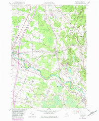
1958 Map of Richland
USGS Topo · Published 1983About this map
Salmon River dominates the southern landscape of this Oswego County region, carving a path through the towns of Richland and Albion. The area is defined by its transition from the village of Pulaski in the west to the higher elevations of Boylston and Orwell in the east. Local history is etched into the terrain through various family-named roads like Towne Road, Malby Road, and Halsey Road, alongside quiet burial grounds including Riverside Cem and McClelland Cem. The presence of the Conrail line and the County Sanatorium suggests a mid-century community balancing industry and public health. Large tracts of protected land, such as Sandy Creek State Forest and Altmar State Forest, provide a clear view of the state's conservation priorities during this era of post-war mapping.
Find a feature on this map
56 named features on this map. Tap any name to fly to it.
Don’t see what you’re looking for? This feature index may not catch every label — zoom into the map to look around manually.
Map Details
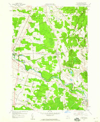
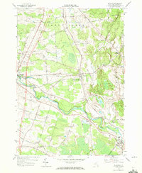
Editions of this 1958 Richland Map
3 editions found
Other maps of this area

1895 · Pulaski
USGS Topo · 1:62,500

1903 · Orwell
USGS Topo · 1:62,500

1905 · Orwell
USGS Topo · 1:62,500

1905 · Mexico
USGS Topo · 1:62,500

1906 · Kasoag
USGS Topo · 1:62,500

1942 · Sandy Creek
USGS Topo · 1:24,000

1943 · Pulaski
USGS Topo · 1:31,680
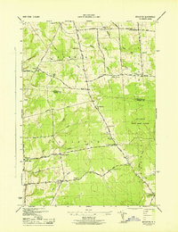
1943 · Boylston
USGS Topo · 1:31,680

1943 · Richland
USGS Topo · 1:31,680

1943 · Mexico
USGS Topo · 1:31,680