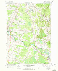
1958 Map of Richland
USGS Topo · Published 1972About this map
Salmon River waters carve through the heart of Oswego County, defining the landscape between Pulaski and Altmar. During this late 1950s survey, the area was a nexus of mid-century infrastructure and rural transit, evidenced by the convergence of the New York Central Railroad and the Lehigh Valley Railroad. The map captures a transition in transportation, showing a Proposed Highway cutting across Halsey Road and Towne Road. Local civic and social centers are well-documented, from the Union Sch in the southeast to the County Sanatorium near Orwell. Smaller hamlets like Pineville, Centerville, and Richland are linked by a dense network of named local routes like Tavern Road and Malby Road, reflecting a settled agricultural and residential pattern along the river valley.
Find a feature on this map
68 named features on this map. Tap any name to fly to it.
Don’t see what you’re looking for? This feature index may not catch every label — zoom into the map to look around manually.
Map Details
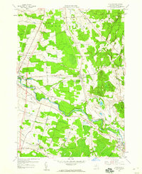
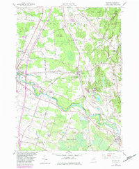
Editions of this 1958 Richland Map
3 editions found
Other maps of this area

1895 · Pulaski
USGS Topo · 1:62,500

1903 · Orwell
USGS Topo · 1:62,500

1905 · Orwell
USGS Topo · 1:62,500

1905 · Mexico
USGS Topo · 1:62,500

1906 · Kasoag
USGS Topo · 1:62,500

1942 · Sandy Creek
USGS Topo · 1:24,000

1943 · Pulaski
USGS Topo · 1:31,680
1943 · Boylston
USGS Topo · 1:31,680

1943 · Richland
USGS Topo · 1:31,680

1943 · Mexico
USGS Topo · 1:31,680