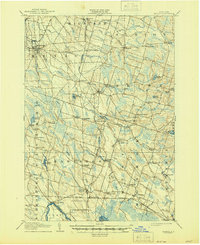
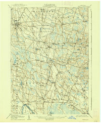
1905 Map of Mexico
USGS Topo · Published 1944About this map
The village of Mexico serves as a northern anchor for this interior Oswego County landscape, characterized at the turn of the century by a network of rural hamlets and small-scale milling operations. The presence of Russ Mills and Carleys Mills along the tributaries reflects a localized hydraulic economy, while the Rome Watertown and Ogdensburg Div and the New York Central railroads provide the critical industrial arteries connecting these agricultural settlements to larger markets.
Find a feature on this map
78 named features on this map. Tap any name to fly to it.
Don’t see what you’re looking for? This feature index may not catch every label — zoom into the map to look around manually.
Map Details
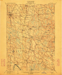
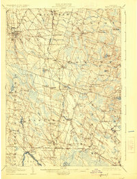
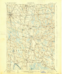
Editions of this 1905 Mexico Map
6 editions found

Other maps of this area

1895 · Chittenango
USGS Topo · 1:62,500

1895 · Pulaski
USGS Topo · 1:62,500

1895 · Syracuse
USGS Topo · 1:62,500

1898 · Syracuse
USGS Topo · 1:62,500

1898 · Chittenango
USGS Topo · 1:62,500

1900 · Baldwinsville
USGS Topo · 1:62,500

1900 · Fulton
USGS Topo · 1:62,500

1902 · Chittenango
USGS Topo · 1:62,500

1903 · Orwell
USGS Topo · 1:62,500

1905 · Orwell
USGS Topo · 1:62,500