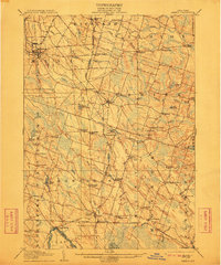
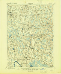
1905 Map of Mexico
USGS Topo · Published 1912About this map
The Salmon River and its numerous tributaries, including Catfish Creek and the South Branch, carve through this early twentieth-century landscape in Oswego County. The area is defined by a dense network of small hamlets and crossroads typical of the era's rural economy, such as Colosse, Union Settlement, and East Palermo. Industrial traces of the nineteenth century remain visible in features like Gray Millpond, Carleys Mills, and Russ Mills.
Find a feature on this map
75 named features on this map. Tap any name to fly to it.
Don’t see what you’re looking for? This feature index may not catch every label — zoom into the map to look around manually.
Map Details
Editions of this 1905 Mexico Map
6 editions found

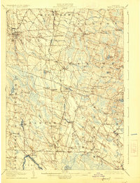
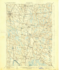
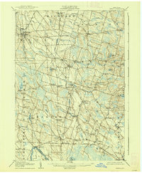
Other maps of this area

1895 · Chittenango
USGS Topo · 1:62,500

1895 · Pulaski
USGS Topo · 1:62,500

1895 · Syracuse
USGS Topo · 1:62,500

1898 · Syracuse
USGS Topo · 1:62,500

1898 · Chittenango
USGS Topo · 1:62,500

1900 · Baldwinsville
USGS Topo · 1:62,500

1900 · Fulton
USGS Topo · 1:62,500

1902 · Chittenango
USGS Topo · 1:62,500

1903 · Orwell
USGS Topo · 1:62,500

1905 · Orwell
USGS Topo · 1:62,500