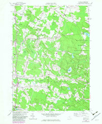
1957 Map of Dugway
USGS Topo · Published 1983About this map
Carley Mills and the village of Parish anchor the southwestern corner of this Oswego County landscape, where the Little Salmon River and its various branches create a complex network of waterways. The terrain is defined by low-lying wetlands like Kipp Swamp and Stewart Swamp, which dominate the western half of the quadrangle. In the east, the Happy Valley Wildlife Management Area provides a large tract of preserved terrain, dotted with small water bodies like St Marys Pond and Mosher Pond.
Find a feature on this map
64 named features on this map. Tap any name to fly to it.
Don’t see what you’re looking for? This feature index may not catch every label — zoom into the map to look around manually.
Map Details
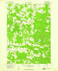
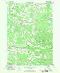
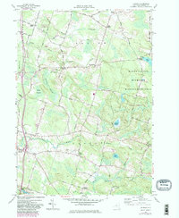
Editions of this 1957 Dugway Map
4 editions found
Other maps of this area

1895 · Pulaski
USGS Topo · 1:62,500

1903 · Orwell
USGS Topo · 1:62,500

1905 · Orwell
USGS Topo · 1:62,500

1905 · Mexico
USGS Topo · 1:62,500

1906 · Kasoag
USGS Topo · 1:62,500

1943 · Pulaski
USGS Topo · 1:31,680

1943 · Richland
USGS Topo · 1:31,680
1943 · Mallory
USGS Topo · 1:31,680

1943 · Mexico
USGS Topo · 1:31,680
1943 · Central Square
USGS Topo · 1:31,680