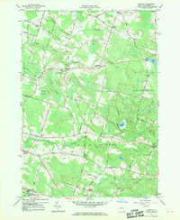
1957 Map of Dugway
USGS Topo · Published 1970About this map
Grindstone Creek and the Little Salmon River carve through this rural landscape in central New York, defining a region of small crossroads settlements and extensive wetland complexes. The central portion of the sheet is dominated by the Happy Valley Game Management Area, a large expanse of conservation land dotted with water bodies like St Marys Pond and Fritz Pond. This area contrasts with the settled corners of the map, where family-named junctions such as Barber Corners and Mosher Corners highlight the historical importance of local road networks.
Find a feature on this map
73 named features on this map. Tap any name to fly to it.
Don’t see what you’re looking for? This feature index may not catch every label — zoom into the map to look around manually.
Map Details
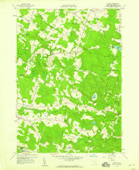
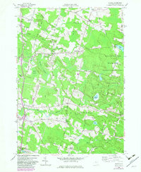
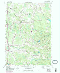
Editions of this 1957 Dugway Map
4 editions found
Other maps of this area

1895 · Pulaski
USGS Topo · 1:62,500

1903 · Orwell
USGS Topo · 1:62,500

1905 · Orwell
USGS Topo · 1:62,500

1905 · Mexico
USGS Topo · 1:62,500

1906 · Kasoag
USGS Topo · 1:62,500

1943 · Pulaski
USGS Topo · 1:31,680

1943 · Richland
USGS Topo · 1:31,680
1943 · Mallory
USGS Topo · 1:31,680

1943 · Mexico
USGS Topo · 1:31,680
1943 · Central Square
USGS Topo · 1:31,680