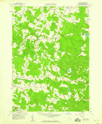
1957 Map of Dugway
USGS Topo · Published 1959About this map
Dugway and the surrounding rural townships of Albion and Parish define this mid-century landscape in Oswego County. The terrain is dominated by the sprawling Happy Valley Game Management Area to the east and the significant wetlands of Kipp Swamp and Steward Swamp to the west. Small agricultural and crossroads settlements like Howardville, Albion Center, and Carley Mills are connected by a network of local roads including Frank Lacy Road and Pucker Road.
Find a feature on this map
42 named features on this map. Tap any name to fly to it.
Don’t see what you’re looking for? This feature index may not catch every label — zoom into the map to look around manually.
Map Details
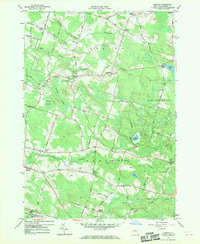
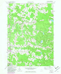
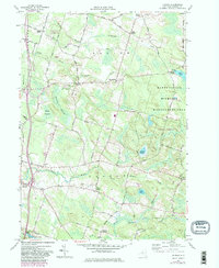
Editions of this 1957 Dugway Map
4 editions found
Other maps of this area

1895 · Pulaski
USGS Topo · 1:62,500

1903 · Orwell
USGS Topo · 1:62,500

1905 · Orwell
USGS Topo · 1:62,500

1905 · Mexico
USGS Topo · 1:62,500

1906 · Kasoag
USGS Topo · 1:62,500

1943 · Pulaski
USGS Topo · 1:31,680

1943 · Richland
USGS Topo · 1:31,680
1943 · Mallory
USGS Topo · 1:31,680

1943 · Mexico
USGS Topo · 1:31,680
1943 · Central Square
USGS Topo · 1:31,680