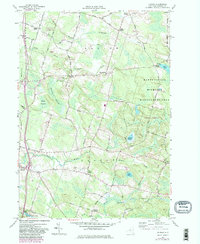
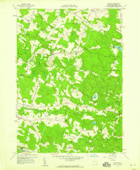
1957 Map of Dugway
USGS Topo · Published 1983About this map
Happy Valley Wildlife Management Area dominates the eastern portion of this landscape, characterized by extensive wetlands and conservation land. The settlement pattern is defined by rural crossroads and small hamlets such as Howardville, Dugway, and Parish Center. The hydrological network is particularly complex here, with the North Branch Grindstone Creek and South Branch Grindstone Creek carving through the northern half, while the Little Salmon River and its various branches drain the southern sections. Genealogy researchers will find several well-documented burial sites throughout the territory, including Old Dutch Hill Cem near the southern border and Maple Lawn Cem situated north of Steward Swamp. Local family names are preserved in landmarks like Mosher Corners and Barber Corners, illustrating the historical division of land in Albion and Parish townships.
Find a feature on this map
45 named features on this map. Tap any name to fly to it.
Don’t see what you’re looking for? This feature index may not catch every label — zoom into the map to look around manually.
Map Details
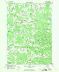
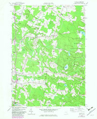
Editions of this 1957 Dugway Map
4 editions found
Other maps of this area

1895 · Pulaski
USGS Topo · 1:62,500

1903 · Orwell
USGS Topo · 1:62,500

1905 · Orwell
USGS Topo · 1:62,500

1905 · Mexico
USGS Topo · 1:62,500

1906 · Kasoag
USGS Topo · 1:62,500

1943 · Pulaski
USGS Topo · 1:31,680

1943 · Richland
USGS Topo · 1:31,680
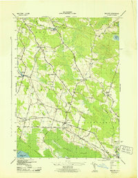
1943 · Mallory
USGS Topo · 1:31,680

1943 · Mexico
USGS Topo · 1:31,680
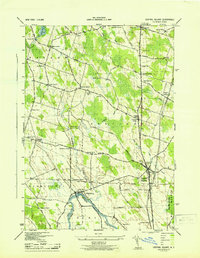
1943 · Central Square
USGS Topo · 1:31,680