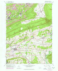
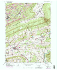
1944 Map of Orwigsburg
USGS Topo · Published 1977About this map
Orwigsburg serves as a primary hub within this mid-century portrait of Schuylkill County, where the industrial influence of anthracite coal mining meets the rural valleys of the Appalachian Mountains. To the north, the landscape is defined by the heavy footprint of Strip Mines along the ridges of Sharp Mountain and Second Mountain, while the Schuylkill River and Conrail tracks provide the essential transportation corridors for the region's output. The map captures a transition in the local economy, featuring mid-century developments like the Drive-in Theater and Schuylkill Landing Field alongside traditional community centers. Small settlements such as New Philadelphia, Middleport, and McKeansburg are scattered throughout the territory, each connected by a network of local roads and the prominent U. S. Route 209. Educational and spiritual life is well-documented through numerous rural institutions, including Bethel Ch and Stevens Sch.
Find a feature on this map
43 named features on this map. Tap any name to fly to it.
Don’t see what you’re looking for? This feature index may not catch every label — zoom into the map to look around manually.
Map Details
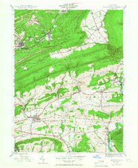
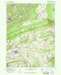
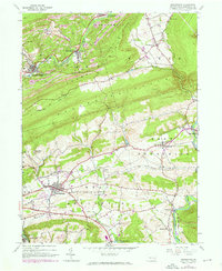
Editions of this 1944 Orwigsburg Map
6 editions found

Other maps of this area

1889 · Hazleton
USGS Topo · 1:62,500

1889 · Pottsville
USGS Topo · 1:62,500

1891 · Hazleton
USGS Topo · 1:62,500

1891 · Pottsville
USGS Topo · 1:62,500

1892 · Mahanoy
USGS Topo · 1:62,500

1893 · Hazleton
USGS Topo · 1:62,500

1893 · Mahanoy
USGS Topo · 1:62,500

1909 · Hamburg
USGS Topo · 1:62,500

1911 · Hamburg
USGS Topo · 1:62,500

1944 · Pottsville
USGS Topo · 1:24,000
Featured Places
- Orwigsburg, PA
- New Philadelphia, PA
- Deer Lake, West Brunswick Township
- Middleport, PA
- North Manheim Township, PA