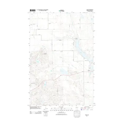
2013 Map of Osage
USGS Topo · Published 2013About this map
Osage sits at the crossing of MN-34 and the Straight River, serving as a central hub for this lake-strewn landscape in Becker County. The terrain is defined by the Smoky Hills to the west, where the Smoky Hills Lookout Tower once guarded the surrounding forests. The water network is intricate, with the Shell River winding through the center of the sheet and connecting a series of basins including Mud Lake and Straight Lake.
Find a feature on this map
45 named features on this map. Tap any name to fly to it.
Don’t see what you’re looking for? This feature index may not catch every label — zoom into the map to look around manually.
Map Details
Editions of this 2013 Osage Map
This is the sole edition of this map. No revisions or reprints were ever made.
Other maps of this area

1953 · Brainerd
USGS Topo · 1:250,000

1954 · Bemidji
USGS Topo · 1:250,000

1957 · Brainerd
USGS Topo · 1:250,000

1957 · Bemidji
USGS Topo · 1:250,000

1958 · Bemidji
USGS Topo · 1:250,000
1958 · Brainerd
USGS Topo · 1:250,000
1965 · Brainerd
USGS Topo · 1:250,000
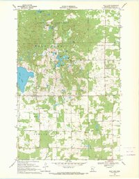
1969 · Wolf Lake
USGS Topo · 1:24,000
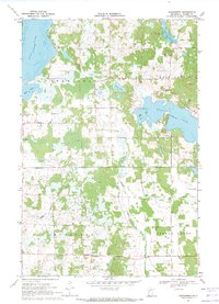
1969 · Evergreen
USGS Topo · 1:24,000
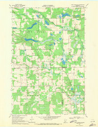
1969 · Park Rapids SW
USGS Topo · 1:24,000