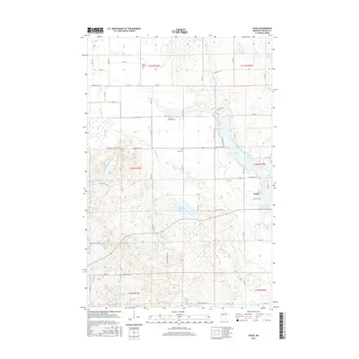
2016 Map of Osage
USGS Topo · Published 2016About this map
Osage anchors this portion of Becker County, situated where the Shell River and Straight River converge in a landscape defined by glacial lakes and woodland. This modern 2016 survey documents the enduring rural character of the region, emphasizing the significant number of cemeteries that speak to the area's genealogical depth, including Osage Cem, Saint Paul's Lutheran Cem, Linnel Cem, and Mount Calvary Cem. The terrain is marked by the winding paths of the Straight Lake drainage and the surrounding Smokey Hills region.
Find a feature on this map
62 named features on this map. Tap any name to fly to it.
Don’t see what you’re looking for? This feature index may not catch every label — zoom into the map to look around manually.
Map Details
Editions of this 2016 Osage Map
This is the sole edition of this map. No revisions or reprints were ever made.
Other maps of this area

1953 · Brainerd
USGS Topo · 1:250,000

1954 · Bemidji
USGS Topo · 1:250,000

1957 · Brainerd
USGS Topo · 1:250,000

1957 · Bemidji
USGS Topo · 1:250,000

1958 · Bemidji
USGS Topo · 1:250,000
1958 · Brainerd
USGS Topo · 1:250,000
1965 · Brainerd
USGS Topo · 1:250,000
1969 · Wolf Lake
USGS Topo · 1:24,000
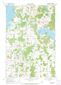
1969 · Evergreen
USGS Topo · 1:24,000
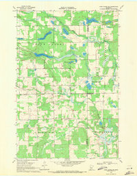
1969 · Park Rapids SW
USGS Topo · 1:24,000