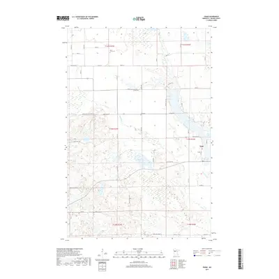
2019 Map of Osage
USGS Topo · Published 2019About this map
The settlement of Osage serves as a focal point in this portion of Becker County, situated along the Straight River where it flows out of Straight Lake. The landscape is defined by its complex glacial hydrology, featuring a dense network of water bodies including Mud Lake, Cranberry Lake, and Elbow Lake. This 2019 survey documents the enduring presence of local heritage sites, with several burial grounds such as Osage Cem, Linnel Cem, and Saint Paul's Lutheran Cem distributed across the townships. Access through the more densely forested western sections is provided by the Smokey Hills State Forest Rd and the Smokey Hills Tr, while the Shell River meanders through the central marshlands. The mapping of multiple cemeteries and secondary roads like Hanna-Ore Rd offers significant detail for those tracing regional family history and land use patterns in the early 21st century.
Find a feature on this map
40 named features on this map. Tap any name to fly to it.
Don’t see what you’re looking for? This feature index may not catch every label — zoom into the map to look around manually.
Map Details
Editions of this 2019 Osage Map
This is the sole edition of this map. No revisions or reprints were ever made.
Other maps of this area

1953 · Brainerd
USGS Topo · 1:250,000

1954 · Bemidji
USGS Topo · 1:250,000

1957 · Brainerd
USGS Topo · 1:250,000

1957 · Bemidji
USGS Topo · 1:250,000

1958 · Bemidji
USGS Topo · 1:250,000
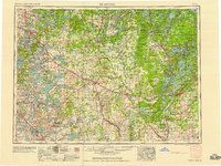
1958 · Brainerd
USGS Topo · 1:250,000
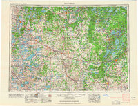
1965 · Brainerd
USGS Topo · 1:250,000
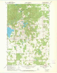
1969 · Wolf Lake
USGS Topo · 1:24,000
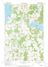
1969 · Evergreen
USGS Topo · 1:24,000
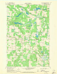
1969 · Park Rapids SW
USGS Topo · 1:24,000