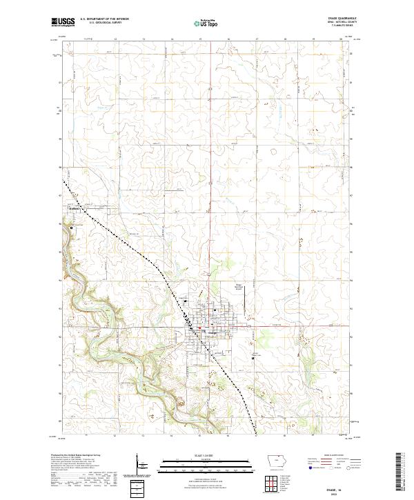
2022 Map of Osage
USGS Topo · Published 2022About this map
The Mitchell County Courthouse stands as the civic heart of Osage, the county seat of Mitchell County, in this detailed 2022 survey. The landscape is defined by the winding course of the Cedar River, which passes just west of town and supports the Cedar River Greenbelt Trail and the Harry Cook Nature Trail. To the northwest, the smaller settlement of Mitchell is situated along the riverbanks near the Oak Grove Cemetery. The township's agricultural character is preserved in the rigid grid of section lines and gravel roads, such as Indigo Ave and March Ave, which cross several tributaries including Sugar Creek, Spring Creek, and Burr Oak Creek. Genealogical researchers will find the locations of Osage Cemetery and Sacred Heart Cemetery clearly marked near the city's eastern and southern boundaries.
Find a feature on this map
63 named features on this map. Tap any name to fly to it.
Don’t see what you’re looking for? This feature index may not catch every label — zoom into the map to look around manually.
Map Details
Editions of this 2022 Osage Map
This is the sole edition of this map. No revisions or reprints were ever made.
Other maps of this area

1954 · Mason City
USGS Topo · 1:250,000

1957 · Mason City
USGS Topo · 1:250,000

1958 · Mason City
USGS Topo · 1:250,000

1971 · Orchard
USGS Topo · 1:24,000

1971 · Rudd
USGS Topo · 1:24,000

1971 · Floyd
USGS Topo · 1:24,000

1972 · Osage
USGS Topo · 1:24,000

1972 · St. Ansgar
USGS Topo · 1:24,000

1972 · Little Cedar
USGS Topo · 1:24,000

1972 · New Haven
USGS Topo · 1:24,000