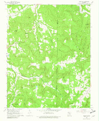
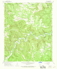
1968 Map of Osage NE
USGS Topo · Published 1981About this map
The community of Delmar sits at the heart of this late 1960s Ozark landscape, where the meandering course of Osage Creek dictates the local geography. The map reveals a deeply etched terrain of hollows and coves, such as Parton Hollow and Denton Cove, that historically isolated small family settlements and homesteads. Local social and spiritual life is anchored by country churches and burial grounds, including Shady Grove Ch and Dog Branch Cem, which are often located near the higher elevations or alongside the creek branches.
Find a feature on this map
53 named features on this map. Tap any name to fly to it.
Don’t see what you’re looking for? This feature index may not catch every label — zoom into the map to look around manually.
Map Details
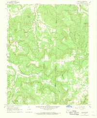
Editions of this 1968 Osage NE Map
2 editions found
Other maps of this area

1904 · Harrison
USGS Topo · 1:125,000

1905 · Harrison
USGS Topo · 1:125,000

1945 · Harrison
USGS Topo · 1:250,000

1949 · Harrison
USGS Topo · 1:250,000

1954 · Harrison
USGS Topo · 1:250,000

1958 · Harrison
USGS Topo · 1:250,000

1964 · Harrison
USGS Topo · 1:250,000
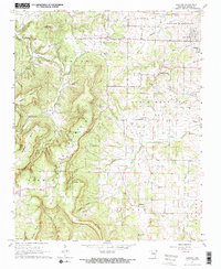
1967 · Gaither
USGS Topo · 1:24,000
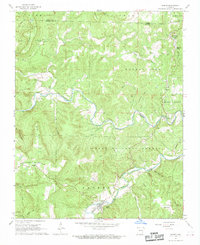
1967 · Jasper
USGS Topo · 1:24,000
1967 · Ponca
USGS Topo · 1:24,000