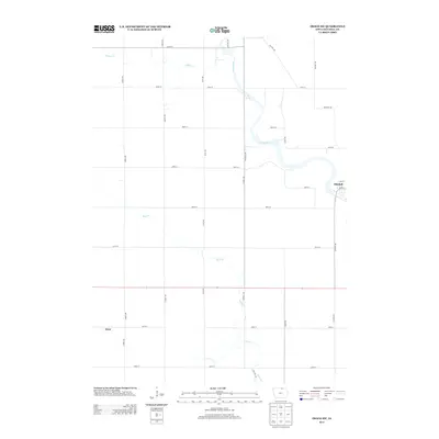
2013 Map of Osage SW
USGS Topo · Published 2013About this map
The Cedar River carves a winding path through this section of northern Iowa, defining the landscape between the settlements of Mitchell and Dixie. This 2013 survey captures the rural character of Mitchell County, where a strictly organized grid of agricultural roads, such as Dancer Ave and Echo Ave, intersects the natural drainage patterns of Rock Cr and Willow Cr. Historically significant transit markers like Red Ball Rd and Old Mill Rd suggest the early patterns of commerce and milling that once thrived along the riverbanks. The small village of Mitchell is shown clustered at a bend in the river, with its local street network including Main St and Cady St, providing a clear record of the community's footprint in the early 21st century.
Find a feature on this map
26 named features on this map. Tap any name to fly to it.
Don’t see what you’re looking for? This feature index may not catch every label — zoom into the map to look around manually.
Map Details
Editions of this 2013 Osage SW Map
This is the sole edition of this map. No revisions or reprints were ever made.
Other maps of this area

1954 · Mason City
USGS Topo · 1:250,000

1957 · Mason City
USGS Topo · 1:250,000

1958 · Mason City
USGS Topo · 1:250,000

1959 · Mason City
USGS Topo · 1:62,500

1959 · Nora Springs
USGS Topo · 1:24,000

1971 · Orchard
USGS Topo · 1:24,000

1971 · Rudd
USGS Topo · 1:24,000

1972 · Osage
USGS Topo · 1:24,000

1972 · St. Ansgar
USGS Topo · 1:24,000

1972 · Osage SW
USGS Topo · 1:24,000