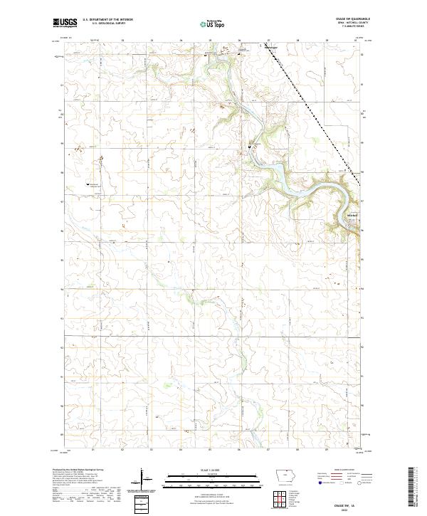
2022 Map of Osage SW
USGS Topo · Published 2022About this map
The Cedar River meanders through this agricultural landscape in Mitchell County, defining the local geography as it flows past the small settlement of Mitchell. This area of northern Iowa is characterized by a high density of small family and community burial grounds, including the Blakestad Cem and Riverview Cem, which serve as vital touchstones for genealogical research. The northern boundary touches the edge of St. Ansgar, while the rural sections are divided by a grid of local roads such as Cameo Ave and Dancer Ave. Several watercourses like Rock Creek and Willow Cr feed into the main river valley, creating a network of drainage that has shaped the farming patterns of the region for generations.
Find a feature on this map
34 named features on this map. Tap any name to fly to it.
Don’t see what you’re looking for? This feature index may not catch every label — zoom into the map to look around manually.
Map Details
Editions of this 2022 Osage SW Map
This is the sole edition of this map. No revisions or reprints were ever made.
Other maps of this area

1954 · Mason City
USGS Topo · 1:250,000

1957 · Mason City
USGS Topo · 1:250,000

1958 · Mason City
USGS Topo · 1:250,000

1959 · Mason City
USGS Topo · 1:62,500

1959 · Nora Springs
USGS Topo · 1:24,000

1971 · Orchard
USGS Topo · 1:24,000

1971 · Rudd
USGS Topo · 1:24,000

1972 · Osage
USGS Topo · 1:24,000

1972 · St. Ansgar
USGS Topo · 1:24,000

1972 · Osage SW
USGS Topo · 1:24,000