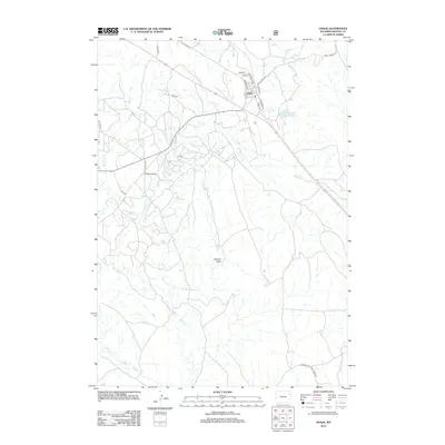
2012 Map of Osage
USGS Topo · Published 2012About this map
The Osage Oil Field dominates the landscape of this Weston County region, reflecting the long-standing industrial character of the northeastern Wyoming plains. Centered around the small settlement of Osage, the map reveals a grid of local streets including Mondell Ave and Taylor Ave, situated just north of the rail corridor along E Railroad St. This area serves as a critical infrastructure node, highlighted by the Black Hills Power and Light Reservoir which supports local utility needs.
Find a feature on this map
26 named features on this map. Tap any name to fly to it.
Don’t see what you’re looking for? This feature index may not catch every label — zoom into the map to look around manually.
Map Details
Editions of this 2012 Osage Map
This is the sole edition of this map. No revisions or reprints were ever made.
Other maps of this area

1898 · Sundance
USGS Topo · 1:125,000

1899 · Newcastle
USGS Topo · 1:125,000

1901 · Newcastle
USGS Topo · 1:125,000

1902 · Sundance
USGS Topo · 1:125,000

1918 · Moorcroft
USGS Topo · 1:125,000

1951 · Osage SE
USGS Topo · 1:24,000

1954 · Gillette
USGS Topo · 1:250,000

1955 · Newcastle
USGS Topo · 1:250,000

1955 · Gillette
USGS Topo · 1:250,000

1957 · Upton
USGS Topo · 1:62,500