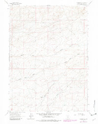
1961 Map of Osborne Well
USGS Topo · Published 1982About this map
Osborne Well stands as a focal point in this high-desert landscape of Sweetwater County, where the infrastructure of water management and early mineral exploration defines the human imprint on the land. The topography is marked by a series of significant drainage systems, including the wide Osborne Draw and the more narrow Eagles Nest Draw, which channel seasonal runoff toward the south and east.
Find a feature on this map
7 named features on this map. Tap any name to fly to it.
Don’t see what you’re looking for? This feature index may not catch every label — zoom into the map to look around manually.
Map Details
Editions of this 1961 Osborne Well Map
2 editions found
Other maps of this area

1955 · Casper
USGS Topo · 1:250,000

1958 · Casper
USGS Topo · 1:250,000

1960 · Battle Spring
USGS Topo · 1:24,000

1960 · Sooner Reservoir
USGS Topo · 1:24,000

1960 · Chicken Spring
USGS Topo · 1:24,000
1961 · Osborne Well
USGS Topo · 1:24,000
1961 · Antelope Reservoir
USGS Topo · 1:24,000

1961 · Hadsell Spring
USGS Topo · 1:24,000

1961 · Crooks Peak
USGS Topo · 1:24,000
1961 · Brenton Springs
USGS Topo · 1:24,000