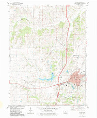
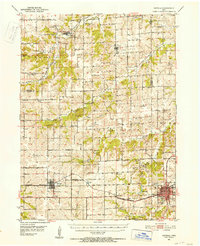
1951 Map of Osceola
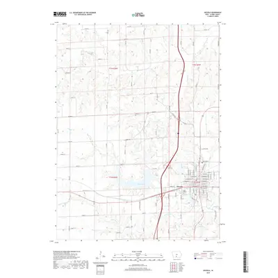
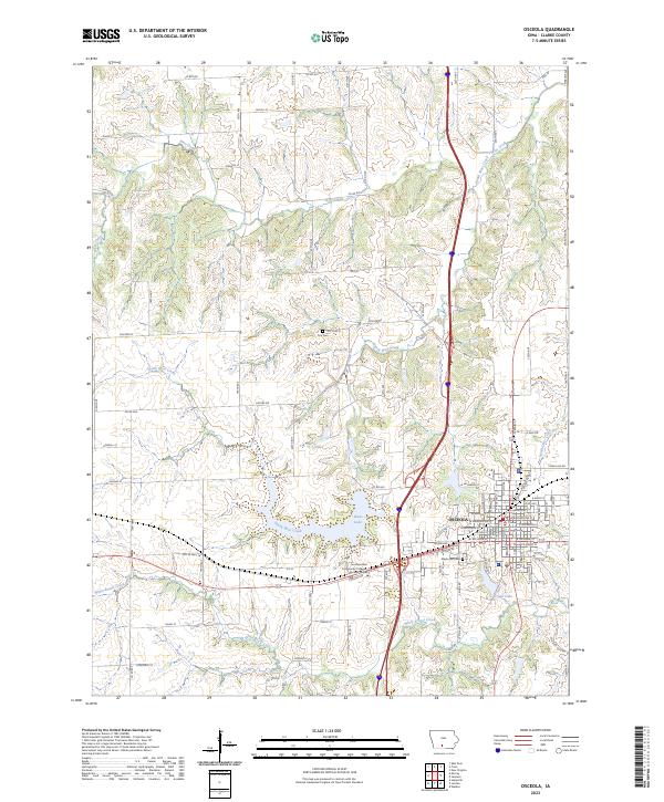
USGS Topo · Published 1981About this map
Osceola serves as a major hub on this mid-century survey, situated at the junction of the Chicago Burlington And Quincy and other primary rail lines. The landscape across the Madison and Clarke County line is defined by a dense network of rural infrastructure, including numerous numbered district schools like School No 6 and School No 7 alongside local gathering places such as Deer Creek Chapel. The presence of East Peru with its dedicated post office and station illustrates the vital connection between these agricultural communities and the broader rail economy.
Find a feature on this map
41 named features on this map. Tap any name to fly to it.
Don’t see what you’re looking for? This feature index may not catch every label — zoom into the map to look around manually.
Map Details
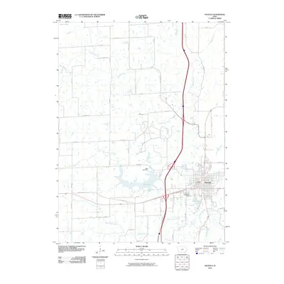
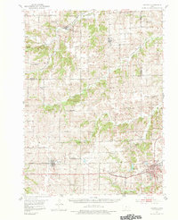
Editions of this 1951 Osceola Map
2 editions found
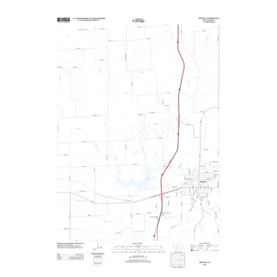
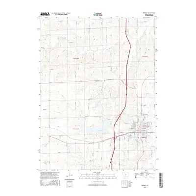
Historical Maps of Osceola Through Time
7 maps found