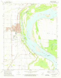
1972 Map of Osceola
USGS Topo · Published 1975About this map
Osceola serves as the focal point of this Mississippi River delta landscape in the early 1970s, where the town's street grid is bounded by the St Louis - San Francisco railroad and the river's protective Levee. The map documents a complex system of agricultural drainage, including Lynch Ditch No 41 and numerous others that crisscross the fertile lowlands. Along the river, shifting sandbars and islands like Island No 30 and Kate Aubrey Towhead reveal the dynamic nature of the Mississippi River channel at Plum Point Reach. Local history and genealogy are preserved through small family or community landmarks such as Violet Cem, Driver Cem, and the Pilgrim Rest Ch. Significant land use is shown through the Anderson-Tully State Wildlife Management Area and local infrastructure like the Landing Strip and a Drive-in Theater.
Find a feature on this map
68 named features on this map. Tap any name to fly to it.
Don’t see what you’re looking for? This feature index may not catch every label — zoom into the map to look around manually.
Map Details
Editions of this 1972 Osceola Map
2 editions found
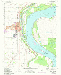
Other maps of this area

1939 · Blytheville
USGS Topo · 1:62,500

1939 · Evadale
USGS Topo · 1:62,500

1941 · Manila
USGS Topo · 1:62,500

1953 · Memphis
USGS Topo · 1:250,000

1955 · Blytheville
USGS Topo · 1:62,500

1956 · Manila
USGS Topo · 1:62,500

1956 · Evadale
USGS Topo · 1:62,500

1956 · Memphis
USGS Topo · 1:250,000

1956 · Blytheville
USGS Topo · 1:250,000

1959 · Blytheville
USGS Topo · 1:250,000