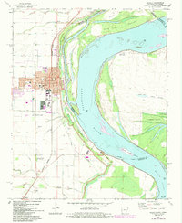
1972 Map of Osceola
USGS Topo · Published 1984About this map
Osceola sits prominently on the west bank of the Mississippi River, serving as a vital hub where the Burlington Northern railroad meets the winding waterway. The town’s 1970s character is defined by its residential grid, including streets like Hale Ave and Keiser Ave, and essential community sites such as the Hospital and City Hall. Surrounding the settlement, a complex network of man-made drainage canals, including Ditch No 43 and Ditch No 1, illustrates the ongoing efforts to manage the alluvial delta landscape for agriculture. Along the river, the shift in current is marked by features like Kate Aubrey Towhead and Island No 30. Further south, the map details the grounds of Sans Souci and several family-named burial sites such as Driver Cem and Ermen Lane Cem, providing valuable touchpoints for regional genealogists.
Find a feature on this map
65 named features on this map. Tap any name to fly to it.
Don’t see what you’re looking for? This feature index may not catch every label — zoom into the map to look around manually.
Map Details
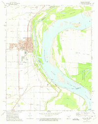
Editions of this 1972 Osceola Map
2 editions found
Other maps of this area

1939 · Blytheville
USGS Topo · 1:62,500

1939 · Evadale
USGS Topo · 1:62,500

1941 · Manila
USGS Topo · 1:62,500

1953 · Memphis
USGS Topo · 1:250,000

1955 · Blytheville
USGS Topo · 1:62,500

1956 · Manila
USGS Topo · 1:62,500

1956 · Evadale
USGS Topo · 1:62,500

1956 · Memphis
USGS Topo · 1:250,000

1956 · Blytheville
USGS Topo · 1:250,000

1959 · Blytheville
USGS Topo · 1:250,000