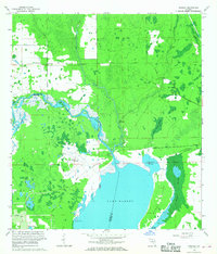
1966 Map of Osceola
USGS Topo · Published 1968About this map
Lake Harney dominates the southern portion of this landscape, where the St Johns River flows through a complex network of wetlands and sloughs. In the mid-1960s, this region of Volusia and Seminole counties shows a transition from historical settlements to modern military footprints. The presence of Osceola Field (Abandoned) and an adjacent US Reservation underscores the era's aerial training history, while the ruins near the settlement of Osceola suggest an earlier chapter of river-based commerce. The terrain is defined by thick vegetation and drainage patterns, including the Black Cypress Swamp and Gopher Swamp. Connectivity in this damp interior is provided by the Florida East Coast Road and the Maytown Road, alongside an Old Railroad Grade that traces the paths of former timber or transport routes through the cypress stands.
Find a feature on this map
37 named features on this map. Tap any name to fly to it.
Don’t see what you’re looking for? This feature index may not catch every label — zoom into the map to look around manually.
Map Details
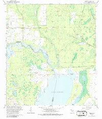
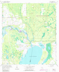
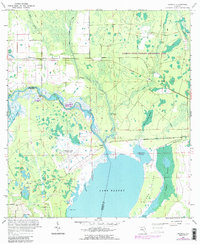
Editions of this 1966 Osceola Map
4 editions found
Other maps of this area

1949 · Osceola
USGS Topo · 1:24,000

1950 · Maytown
USGS Topo · 1:24,000

1950 · Edgewater
USGS Topo · 1:24,000

1950 · Aurantia
USGS Topo · 1:24,000

1953 · Geneva
USGS Topo · 1:24,000

1955 · Orlando
USGS Topo · 1:250,000

1956 · Oviedo
USGS Topo · 1:24,000

1957 · Orlando
USGS Topo · 1:250,000

1958 · Orlando
USGS Topo · 1:250,000

1962 · Orlando
USGS Topo · 1:250,000