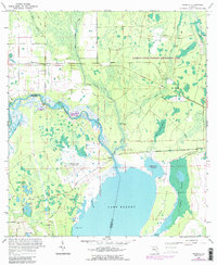
1966 Map of Osceola
USGS Topo · Published 1988About this map
The St Johns River and the expansive waters of Lake Harney dominate this coastal Florida landscape, marking the boundary between Volusia and Seminole Counties. Significant infrastructure changes are visible through labels of a Dismantled railroad and an Old Railroad Grade running through the northern marshes. The map documents rural settlements like Kalamazoo, Farmton, and the namesake Osceola, alongside the Osceola Field (Abandoned) and nearby Ruins.
Find a feature on this map
37 named features on this map. Tap any name to fly to it.
Don’t see what you’re looking for? This feature index may not catch every label — zoom into the map to look around manually.
Map Details
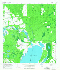
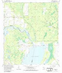
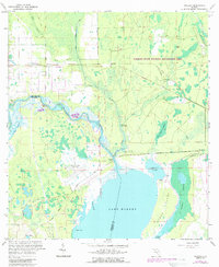
Editions of this 1966 Osceola Map
4 editions found
Other maps of this area

1949 · Osceola
USGS Topo · 1:24,000

1950 · Maytown
USGS Topo · 1:24,000

1950 · Edgewater
USGS Topo · 1:24,000

1950 · Aurantia
USGS Topo · 1:24,000

1953 · Geneva
USGS Topo · 1:24,000

1955 · Orlando
USGS Topo · 1:250,000

1956 · Oviedo
USGS Topo · 1:24,000

1957 · Orlando
USGS Topo · 1:250,000

1958 · Orlando
USGS Topo · 1:250,000

1962 · Orlando
USGS Topo · 1:250,000