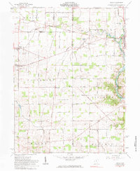
1961 Map of Osgood
USGS Topo · Published 1983About this map
Agricultural fields and small village centers define the landscape of western Ohio in the early 1960s. The village of Osgood and the town of Fort Loramie anchor the sheet, representing established community hubs surrounded by a dense network of country roads. Local life is centered around landmarks like St Martins Ch and cemeteries such as Walkup Cem and the Yoder Cem, providing valuable reference points for genealogists.
Find a feature on this map
68 named features on this map. Tap any name to fly to it.
Don’t see what you’re looking for? This feature index may not catch every label — zoom into the map to look around manually.
Map Details
Editions of this 1961 Osgood Map
3 editions found
Other maps of this area

1908 · St. Henry
USGS Topo · 1:62,500

1909 · Loramie
USGS Topo · 1:62,500

1911 · Loramie
USGS Topo · 1:62,500

1911 · Covington
USGS Topo · 1:62,500

1944 · Covington
USGS Topo · 1:62,500

1944 · Loramie
USGS Topo · 1:62,500

1953 · Muncie
USGS Topo · 1:250,000

1956 · Muncie
USGS Topo · 1:250,000

1961 · Dawn
USGS Topo · 1:24,000
1961 · Piqua West
USGS Topo · 1:24,000