
1961 Map of Oshkosh NE
USGS Topo · Published 1966About this map
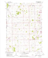
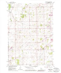
Medina Junction and the small agricultural hamlets of Larsen and Allenville define the rural character of this Winnebago County landscape in the early 1960s. The area is crisscrossed by significant rail lines, including the Chicago and North Western and the Soo Line, which served the local farming and gravel industries. The map illustrates a community structured around small rural institutions, with local schools like Clayton Sch and Gillingham Sch and civic landmarks such as Grange Hall and the Townhall serving the scattered residents.
Find a feature on this map
26 named features on this map. Tap any name to fly to it.
Don’t see what you’re looking for? This feature index may not catch every label — zoom into the map to look around manually.
Map Details
Editions of this 1961 Oshkosh NE Map
3 editions found
Other maps of this area

1911 · Neenah
USGS Topo · 1:62,500

1955 · Neenah
USGS Topo · 1:62,500

1955 · Appleton
USGS Topo · 1:24,000

1955 · Appleton
USGS Topo · 1:62,500

1955 · Neenah
USGS Topo · 1:24,000

1955 · Green Bay
USGS Topo · 1:250,000

1956 · New London
USGS Topo · 1:48,000

1961 · Oshkosh
USGS Topo · 1:24,000

1961 · Oshkosh
USGS Topo · 1:62,500

1961 · Oshkosh NW
USGS Topo · 1:24,000