
1971 Map of Oshkosh SW
USGS Topo · Published 1974About this map
Ash Hollow and its surrounding tablelands characterize this rural Garden County landscape in the early 1970s. The map illustrates a sparse but established agricultural community defined by its remote schools and churches. Kowanda Ch serves as a local landmark in the southeastern portion of the quadrangle, while educational hubs like School No 56 and School No 40 are scattered across the section lines. The terrain is marked by significant natural depressions and drainage systems, most notably Grapevine Canyon and the Devils Washbasin. A single Pipeline cuts across the southwestern corner, reflecting the industrial infrastructure threading through this high plains environment. Transportation is limited to section roads and specialized routes such as West Canyon Road, which skirts the edge of the canyon complex near the eastern boundary.
Find a feature on this map
12 named features on this map. Tap any name to fly to it.
Don’t see what you’re looking for? This feature index may not catch every label — zoom into the map to look around manually.
Map Details
Editions of this 1971 Oshkosh SW Map
This is the sole edition of this map. No revisions or reprints were ever made.
Other maps of this area

1899 · Sidney
USGS Topo · 1:125,000

1900 · Chappell
USGS Topo · 1:125,000

1954 · Scottsbluff
USGS Topo · 1:250,000

1958 · Scottsbluff
USGS Topo · 1:250,000

1971 · Barn Butte
USGS Topo · 1:24,000

1971 · Chappell NE
USGS Topo · 1:24,000

1971 · Coumbe Bluff
USGS Topo · 1:24,000

1971 · Chappell NW
USGS Topo · 1:24,000
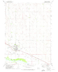
1971 · Oshkosh
USGS Topo · 1:24,000
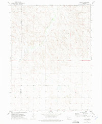
1972 · Lisco SE
USGS Topo · 1:24,000