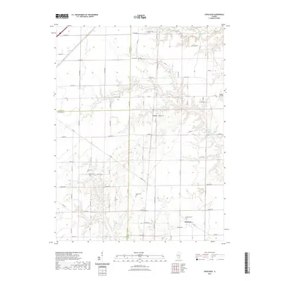
2021 Map of Oskaloosa
USGS Topo · Published 2021About this map
Iola sits on the eastern edge of this landscape where the boundaries of Fayette, Marion, and Clay counties meet. The map reveals a rural expanse defined by small settlements and family burial grounds that reflect generations of local history. To the south, Cruse and the Oskaloosa Cem serve as focal points for the surrounding agricultural community. The drainage of the Skillet Fork and Crooked Cr dictates the local topography, creating a network of riparian corridors that cut through the grid-like road system.
Find a feature on this map
69 named features on this map. Tap any name to fly to it.
Don’t see what you’re looking for? This feature index may not catch every label — zoom into the map to look around manually.
Map Details
Editions of this 2021 Oskaloosa Map
This is the sole edition of this map. No revisions or reprints were ever made.
Other maps of this area

1934 · Salem
USGS Topo · 1:62,500

1938 · Salem
USGS Topo · 1:62,500

1945 · Kinmundy
USGS Topo · 1:62,500

1947 · Kinmundy
USGS Topo · 1:62,500

1952 · Xenia
USGS Topo · 1:62,500

1956 · Edgewood
USGS Topo · 1:62,500

1958 · Belleville
USGS Topo · 1:250,000

1962 · Belleville
USGS Topo · 1:250,000
1965 · Omega
USGS Topo · 1:24,000
1968 · Xenia
USGS Topo · 1:24,000