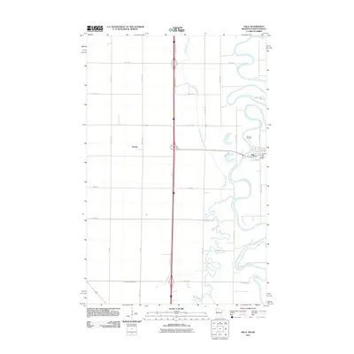
2011 Map of Oslo
USGS Topo · Published 2011About this map
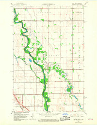
The Red River of the North winds through this borderland landscape, defining the character of Oslo and the surrounding agricultural plains. This survey documents a region defined by its complex hydrology, where the North Marais River and Turtle River meander across a flat terrain crisscrossed by a grid of rural roads and drainage infrastructure like County Ditch Number 3. The settlement of Oslo is positioned along the river bends, protected by Dike Ave, while the smaller community of Poland sits to the west. Local genealogy and history are anchored at the Riverside Cemetery and Saint Joseph Cemetery, which serve as key landmarks for researchers tracing the families of Marshall County. The intersection of local routes such as County Rd 2 and the state line reflects the area's role as a transit point between Minnesota and North Dakota.
Find a feature on this map
35 named features on this map. Tap any name to fly to it.
Don’t see what you’re looking for? This feature index may not catch every label — zoom into the map to look around manually.
Map Details
Editions of this 2011 Oslo Map
This is the sole edition of this map. No revisions or reprints were ever made.
Other maps of this area

1918 · Acton
USGS Topo · 1:62,500

1926 · Ardoch
USGS Topo · 1:62,500

1943 · Grafton
USGS Topo · 1:62,500

1952 · Thief River Falls
USGS Topo · 1:250,000

1956 · Thief River Falls
USGS Topo · 1:250,000

1957 · Thief River Falls
USGS Topo · 1:250,000
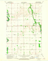
1966 · Oslo NE
USGS Topo · 1:24,000
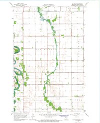
1966 · Big Woods
USGS Topo · 1:24,000
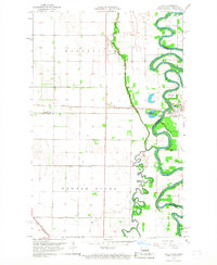
1966 · Oslo
USGS Topo · 1:24,000
1966 · Oslo SE
USGS Topo · 1:24,000