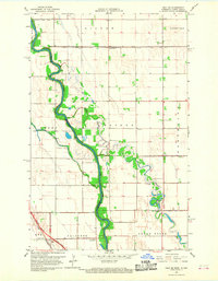
1966 Map of Oslo SE
USGS Topo · Published 1968About this map
The Red River of the North defines the winding boundary between Minnesota and North Dakota, its deep meanders cutting through the flat agricultural lands of Polk and Grand Forks Counties. In this mid-century landscape, the natural flow of the Turtle River and Grand Marais Creek is supplemented by an extensive system of engineered waterways, including Judicial Ditch No 75 and County Ditch No 41. These features reflect the area's intensive effort to manage drainage for farming on the Red River Valley floor.
Find a feature on this map
25 named features on this map. Tap any name to fly to it.
Don’t see what you’re looking for? This feature index may not catch every label — zoom into the map to look around manually.
Map Details
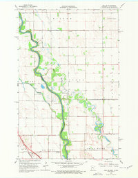
Editions of this 1966 Oslo SE Map
2 editions found
Other maps of this area

1918 · Warren
USGS Topo · 1:62,500

1934 · Grand Forks
USGS Topo · 1:24,000

1934 · Grand Forks
USGS Topo · 1:62,500

1938 · Grand Forks
USGS Topo · 1:62,500

1952 · Grand Forks
USGS Topo · 1:250,000

1952 · Thief River Falls
USGS Topo · 1:250,000

1955 · Warren
USGS Topo · 1:62,500

1956 · Thief River Falls
USGS Topo · 1:250,000

1956 · Grand Forks
USGS Topo · 1:250,000

1957 · Thief River Falls
USGS Topo · 1:250,000