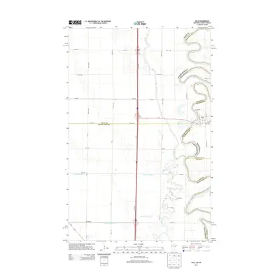
2013 Map of Oslo
USGS Topo · Published 2013About this map
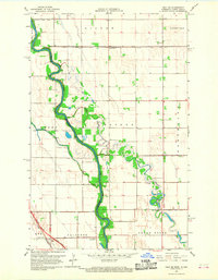
Oslo serves as a central hub on this 2013 survey of the borderlands between Minnesota and North Dakota. The landscape is defined by the winding course of the Red River, which acts as the boundary between the two states and the counties of Walsh and Marshall. Within the small settlement of Oslo, local history is preserved at Riverside Cem and Saint Joseph Cem, while the town is connected to the wider region by MN-1 and ND-54. Beyond the residential center, the geography is heavily shaped by agricultural infrastructure and natural waterways. The N Marais River and Turtle River meander through the plains, supplemented by man-made drainage systems like County Ditch Number 13 and County Ditch Number 3. This mapping reveals how the grid of local roads, such as Cord-19 and 57th St NE, organizes the rural landscape surrounding the river's path.
Find a feature on this map
28 named features on this map. Tap any name to fly to it.
Don’t see what you’re looking for? This feature index may not catch every label — zoom into the map to look around manually.
Map Details
Editions of this 2013 Oslo Map
This is the sole edition of this map. No revisions or reprints were ever made.
Other maps of this area

1918 · Acton
USGS Topo · 1:62,500

1926 · Ardoch
USGS Topo · 1:62,500

1943 · Grafton
USGS Topo · 1:62,500

1952 · Thief River Falls
USGS Topo · 1:250,000

1956 · Thief River Falls
USGS Topo · 1:250,000

1957 · Thief River Falls
USGS Topo · 1:250,000
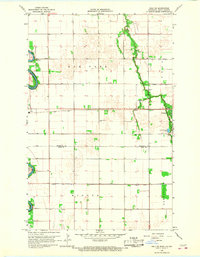
1966 · Oslo NE
USGS Topo · 1:24,000
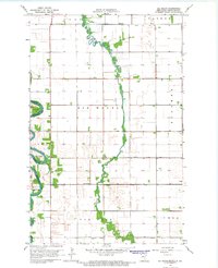
1966 · Big Woods
USGS Topo · 1:24,000
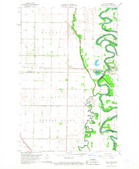
1966 · Oslo
USGS Topo · 1:24,000
1966 · Oslo SE
USGS Topo · 1:24,000