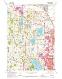
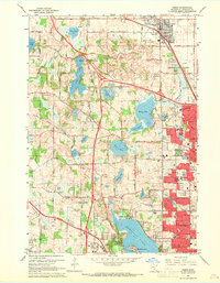
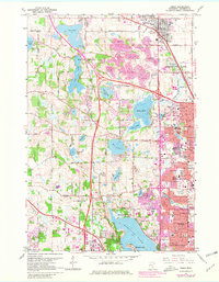
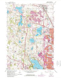
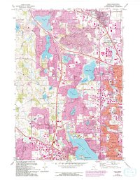
1967 Map of Osseo
USGS Topo · Published 1973About this map
Medicine Lake and the surrounding Hennepin County landscape reflect a period of rapid suburbanization during the mid-twentieth century. The expansion of New Hope, Plymouth, and Brooklyn Park is clearly documented by purple-tinted urban extensions that contrast with the numerous established Gravel Pits and remaining open spaces. This era highlights a shift in land use, where former agricultural lands or extraction sites were transitioning into residential subdivisions and centers of education like North Hennepin State College and Cooper High Sch.
Find a feature on this map
78 named features on this map. Tap any name to fly to it.
Don’t see what you’re looking for? This feature index may not catch every label — zoom into the map to look around manually.
Map Details
Editions of this 1967 Osseo Map
5 editions found
Other maps of this area

1896 · Minneapolis
USGS Topo · 1:62,500

1901 · Minneapolis
USGS Topo · 1:62,500

1902 · Anoka
USGS Topo · 1:62,500

1905 · Minnetonka
USGS Topo · 1:62,500

1907 · Minnetonka
USGS Topo · 1:62,500

1909 · Rockford
USGS Topo · 1:62,500
1952 · Minneapolis North
USGS Topo · 1:24,000
1952 · Minneapolis South
USGS Topo · 1:24,000

1953 · Saint Paul
USGS Topo · 1:250,000

1953 · Stillwater
USGS Topo · 1:250,000