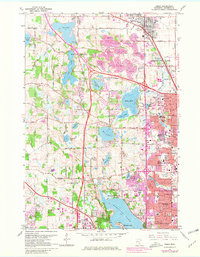
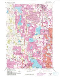
1967 Map of Osseo
USGS Topo · Published 1981About this map
Medicine Lake and its surrounding suburbs define this portion of Hennepin County during a period of rapid residential and industrial expansion. The landscape is a transition of water and industry, where massive Gravel Pits sit adjacent to growing residential blocks in Maple Grove and Brooklyn Park. In the southern reaches, Mission Farms and the Minneapolis Industrial Park mark the varied land use of the era, while the Soo Line and Burlington Northern railroads maintain the traditional transport corridors.
Find a feature on this map
100 named features on this map. Tap any name to fly to it.
Don’t see what you’re looking for? This feature index may not catch every label — zoom into the map to look around manually.
Map Details
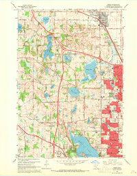
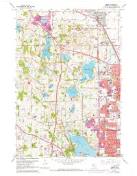
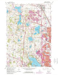
Editions of this 1967 Osseo Map
5 editions found
Other maps of this area

1896 · Minneapolis
USGS Topo · 1:62,500

1901 · Minneapolis
USGS Topo · 1:62,500

1902 · Anoka
USGS Topo · 1:62,500

1905 · Minnetonka
USGS Topo · 1:62,500

1907 · Minnetonka
USGS Topo · 1:62,500

1909 · Rockford
USGS Topo · 1:62,500

1952 · Minneapolis North
USGS Topo · 1:24,000

1952 · Minneapolis South
USGS Topo · 1:24,000

1953 · Saint Paul
USGS Topo · 1:250,000

1953 · Stillwater
USGS Topo · 1:250,000