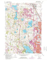
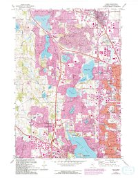
1967 Map of Osseo
USGS Topo · Published 1989About this map
Medicine Lake and the developing suburbs northwest of Minneapolis define this mid-century landscape. The map captures the rapid transformation of Hennepin County as residential grids from New Hope, Crystal, and Brooklyn Park push westward into the lake-dotted terrain of Maple Grove and Plymouth. While early agricultural patterns remain visible through numerous Gravel Pits and the Lime Lakebed, the burgeoning infrastructure of the 1970s is evident in the sprawling Minneapolis Industrial Park and institutions like North Hennepin State College.
Find a feature on this map
101 named features on this map. Tap any name to fly to it.
Don’t see what you’re looking for? This feature index may not catch every label — zoom into the map to look around manually.
Map Details
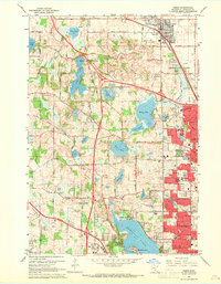
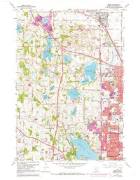
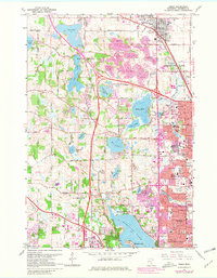
Editions of this 1967 Osseo Map
5 editions found
Other maps of this area

1896 · Minneapolis
USGS Topo · 1:62,500

1901 · Minneapolis
USGS Topo · 1:62,500

1902 · Anoka
USGS Topo · 1:62,500

1905 · Minnetonka
USGS Topo · 1:62,500

1907 · Minnetonka
USGS Topo · 1:62,500

1909 · Rockford
USGS Topo · 1:62,500
1952 · Minneapolis North
USGS Topo · 1:24,000
1952 · Minneapolis South
USGS Topo · 1:24,000

1953 · Saint Paul
USGS Topo · 1:250,000

1953 · Stillwater
USGS Topo · 1:250,000