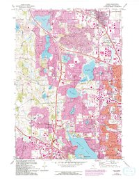
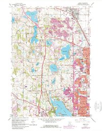
1967 Map of Osseo
USGS Topo · Published 1994About this map
Medicine Lake and the surrounding Hennepin County landscape reflect a period of rapid suburbanization as the Minneapolis-St. Paul area expanded westward. This 1967 survey, updated with 1990s revisions, illustrates the conversion of agricultural land and numerous gravel pits into residential neighborhoods and recreational spaces like Fish Lake Regional Park and Eagle Lake Regional Park. The presence of several religious and educational institutions, such as North Hennepin State College and Gethsemane Ch, highlights the growing community infrastructure. Transport through the region is anchored by the Soo Line railroad and major thoroughfares like Rockford Road. Local history is preserved in numerous smaller landmarks, including St Vincent Cem in Osseo and the secluded Mission Farms on the northern shore of the lake. The map documents the intricate network of wetlands and smaller water bodies, including Schmidt Lake and Pomerleau Lake, that defined the area's development patterns.
Find a feature on this map
84 named features on this map. Tap any name to fly to it.
Don’t see what you’re looking for? This feature index may not catch every label — zoom into the map to look around manually.
Map Details
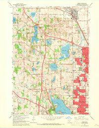
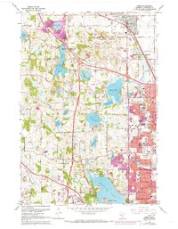
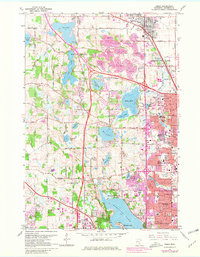
Editions of this 1967 Osseo Map
5 editions found
Other maps of this area

1896 · Minneapolis
USGS Topo · 1:62,500

1901 · Minneapolis
USGS Topo · 1:62,500

1902 · Anoka
USGS Topo · 1:62,500

1905 · Minnetonka
USGS Topo · 1:62,500

1907 · Minnetonka
USGS Topo · 1:62,500

1909 · Rockford
USGS Topo · 1:62,500

1952 · Minneapolis North
USGS Topo · 1:24,000

1952 · Minneapolis South
USGS Topo · 1:24,000

1953 · Saint Paul
USGS Topo · 1:250,000

1953 · Stillwater
USGS Topo · 1:250,000